- Home
- :
- All Communities
- :
- Products
- :
- ArcGIS Pro
- :
- ArcGIS Pro Ideas
- :
- Measure area tool
- Subscribe to RSS Feed
- Mark as New
- Mark as Read
- Bookmark
- Follow this Idea
- Printer Friendly Page
- Mark as New
- Bookmark
- Subscribe
- Mute
- Subscribe to RSS Feed
- Permalink
While we digitalizing ortophotomap, we don't have any tool to use for quick measure area or length.
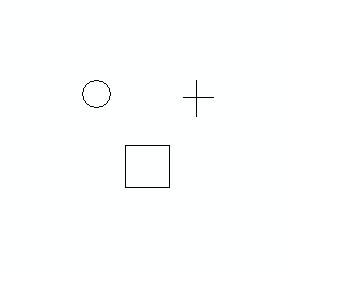
It would be good to have possibility to display around cursor circle. And for those circle assign some area. Then depending of area we have that big circle.
And easy we can by one look compare our circle with area eg. 25 000km2 with orthofotomap, and see that area on orto is smaller than 25 000 so we dont have to digitalizing it, or is bigger so we digitalized it.
Without this tool is rather rough to determinate the area we can digitalized.
Those tool can have also options like
circle,
square
cross
etc
ten we can choose what is the best for use.

You must be a registered user to add a comment. If you've already registered, sign in. Otherwise, register and sign in.