Turn on suggestions
Auto-suggest helps you quickly narrow down your search results by suggesting possible matches as you type.
Cancel
- Home
- :
- All Communities
- :
- Products
- :
- ArcGIS Parcel Fabric
- :
- ArcGIS Parcel Fabric Questions
- :
- What are your requirements for GNSS integration wi...
Options
- Subscribe to RSS Feed
- Mark Topic as New
- Mark Topic as Read
- Float this Topic for Current User
- Bookmark
- Subscribe
- Mute
- Printer Friendly Page
What are your requirements for GNSS integration with ArcGIS Pro?
Subscribe
889
0
07-17-2020 07:15 AM
07-17-2020
07:15 AM
- Mark as New
- Bookmark
- Subscribe
- Mute
- Subscribe to RSS Feed
- Permalink
ArcGIS Pro is being integrated to GNSS receivers with NMEA stream.
The definition of a 'mobile device' versus a 'desktop' have become blurry with the adoption of tablets.
What are your business requirements for this integration?
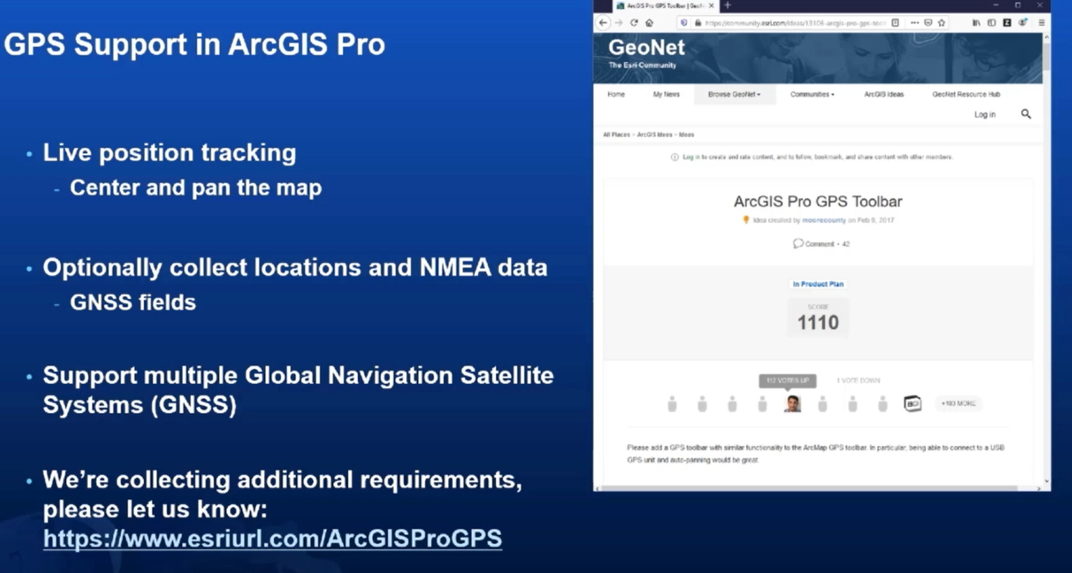
Click on this link to communicate them to the development team:
http://www.esriurl.com/ArcGISProGPS
Examples... should it support:
- Collection of polygons where a point is created with each vertex?
- Should it collect the Xy and Z accuracy?
- Reduce ellipsoidal height to orthometric height?
- Store the name of the device?
- Store PDOP and HDOP?
- Restrict data from being collected if it doesn't meet expected accuracy?
- Restrict collecting a point if another point exists within the vicinity that is of higher accuracy?
- Combine other sensors like a laser distance sensor? cameras?
- Show battery level of the GNSS antenna
- ???
0 Replies