- Home
- :
- All Communities
- :
- Products
- :
- ArcGIS Online
- :
- ArcGIS Online Questions
- :
- Terrain Basemap Water Bug
- Subscribe to RSS Feed
- Mark Topic as New
- Mark Topic as Read
- Float this Topic for Current User
- Bookmark
- Subscribe
- Mute
- Printer Friendly Page
Terrain Basemap Water Bug
- Mark as New
- Bookmark
- Subscribe
- Mute
- Subscribe to RSS Feed
- Permalink
The terrain basemap is IMO one of the best free AGOL basemaps, with the right combination of light colors, minimalism, clarity, and information, except for one persistent issue that has gone on for years and apparently is not resolved. The water bodies in the terrain basemap can often lie on top of user added feature layers and so cover up the primary overlay you are mapping. It happens in various scales and all over California (don't know about other areas). We've noticed this problem since the very first basemap digit we used in JSAPI, and the issue is still there. 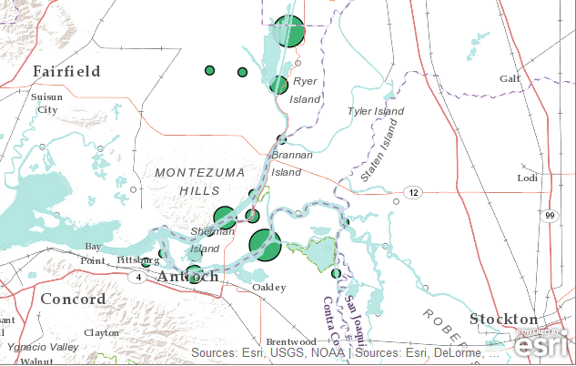
- Mark as New
- Bookmark
- Subscribe
- Mute
- Subscribe to RSS Feed
- Permalink
is it this one you are talking about?
http://www.arcgis.com/home/item.html?id=fe44cf9a739848939988addfeba473e4
in that link there is an implied order of adding the layers.
- Mark as New
- Bookmark
- Subscribe
- Mute
- Subscribe to RSS Feed
- Permalink
I see. So since the water features are part of this so-called "Labels" overlay, it will always be placed on top of other feature layers even though it is supposed to be a basemap. So this behavior is a "feature" and not a bug, and likely will never be changed. I see similar comment under the World Reference Overlay home page http://www.arcgis.com/home/item.html?id=9763d83ba63048da8a2e0a71ccea4416
Thanks for pointing it out.