- Home
- :
- All Communities
- :
- Products
- :
- ArcGIS Online
- :
- ArcGIS Online Questions
- :
- Re: Miscalculated Shape Area
- Subscribe to RSS Feed
- Mark Topic as New
- Mark Topic as Read
- Float this Topic for Current User
- Bookmark
- Subscribe
- Mute
- Printer Friendly Page
Miscalculated Shape Area
- Mark as New
- Bookmark
- Subscribe
- Mute
- Subscribe to RSS Feed
- Permalink
Hello there is a problem with Arcgis Online. "Shape_Area" fields are calculated wrong. When I try the measure area via calculation tool on the toolbar, it is measuring true. I have checked spatial references and other tools but all the time it calculates wrong value. Can someone help me with this?
- Mark as New
- Bookmark
- Subscribe
- Mute
- Subscribe to RSS Feed
- Permalink
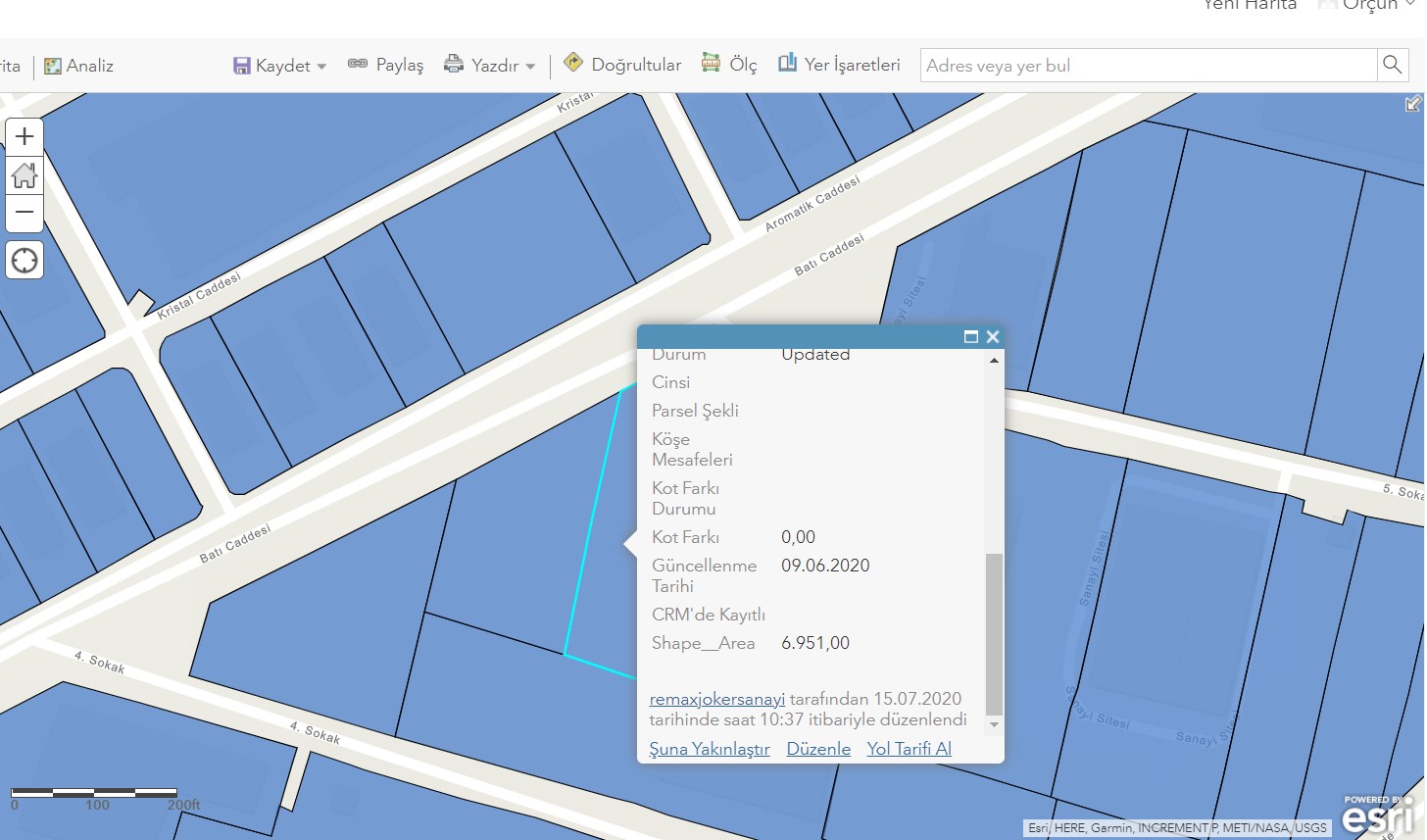
The internal "Shape__Area" field is based on the spatial reference of the layer, and is purely two-dimensional.
FAQ: Why are my map, distance and area measurements wrong when using WGS 1984 Web Mercator?
It's important to note that the built-in measurement tool is using a geodetic measurement, which is not how the internal field calculates. It's easier to see if you zoom way, way out and go near one of the poles. Here's a polygon in Web Mercator, showing the built-in area, the Arcade 2D area, and the geodetic area:

And here's me trying to measure the same shape. Note that the measurement matches the geodetic value from earlier:

The geodetic measurement is taking into account the curvature of the earth and the latitude of my features. Try it yourself, use the measurement widget near either of the poles. You'll see that your two-point lines get automatically curved.

Kendall County GIS