- Home
- :
- All Communities
- :
- Products
- :
- ArcGIS Online
- :
- ArcGIS Online Questions
- :
- Re: map viewer background color
- Subscribe to RSS Feed
- Mark Topic as New
- Mark Topic as Read
- Float this Topic for Current User
- Bookmark
- Subscribe
- Mute
- Printer Friendly Page
map viewer background color
- Mark as New
- Bookmark
- Subscribe
- Mute
- Subscribe to RSS Feed
- Permalink
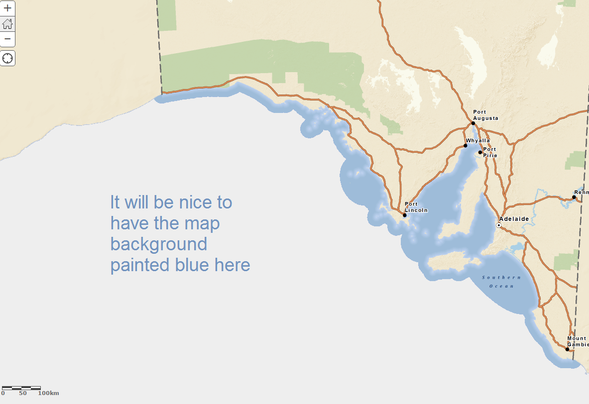
Is it possible to change the map background color in the map viewer?
By default, it's white color.
I am not talking about the base map, although it's possible to be done by creating a single-colored area covering a large geographical area (the whole world...)
- Mark as New
- Bookmark
- Subscribe
- Mute
- Subscribe to RSS Feed
- Permalink
Simo,
Can you post a screenshot of what you are referring to? If you are just using out-of-the-box ArcGIS Online, then there are not many options for changing things. Using a web application (either custom or configurable) gives you more functionality to change these sorts of things.
Here is an article on making a web application from your ArcGIS Online web map.
- Mark as New
- Bookmark
- Subscribe
- Mute
- Subscribe to RSS Feed
- Permalink
If the base is a cache raster base, it probably covers the entire extent and unless it is your basemap, and you can modify at the raw data level, my guess is you can not change it. Is also does not look like it is "no data" so little you could do for that. Even if you changed the background color, most likely on loading of the basemap it would overwrite it. If you can make the base almost transparent, you might be able to change the color if the background color could bleed thru.
Another option to trick it would be to create water polygon feature service that basically masks the water to the color you want. This could draw on top of the basemap and give you the color you want.
Neither of these options are great, and not what would typically be a common workflow for Online basemaps, in my opinion.
- Mark as New
- Bookmark
- Subscribe
- Mute
- Subscribe to RSS Feed
- Permalink
Tried to put a big blue polygon under the cached base map and group them together as a multi-layer base map, but in the multi-layer base map, the polygon will always be drawn on top of the cached map, regardless the sequence they appear in the grouped base map. reference layer in the base map does not work either.
- Mark as New
- Bookmark
- Subscribe
- Mute
- Subscribe to RSS Feed
- Permalink
That is expected behavior...basemap will always draw first. When I mentioned about a blue polygon, I meant one over the water only, with the coast as the one edge. In ArcMap, this old-school workaround or masking is fairly straight forward (although othr ways to do that now too). With Online, this isn't as straight forward.
Maybe someone else has a better idea, know that what you are trying to do is a little more clear. Do you hve any more ideas MidnightYell2003 ?
- Mark as New
- Bookmark
- Subscribe
- Mute
- Subscribe to RSS Feed
- Permalink
No, other than masking, there are not many more options. Masking might be a bit of a challenge to make it look seamless though (due to the jagged-ness of the coast line).