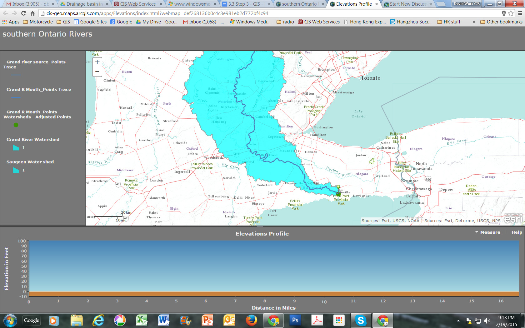
Is it possible to create a elevation profile from a trace downstream line created in the analysis section? I am creating a small river basin investigation for my geography students, and it would be great if the elevation profile used the trace downstream line created rather than re-creating (a rather inaccurate) new line tracing the existing trace downstream line. I've attached an example. thanks
David - HK