In ArcGIS Online, when the map is zoomed out to the max extent, the edges of the frame are clipped off.
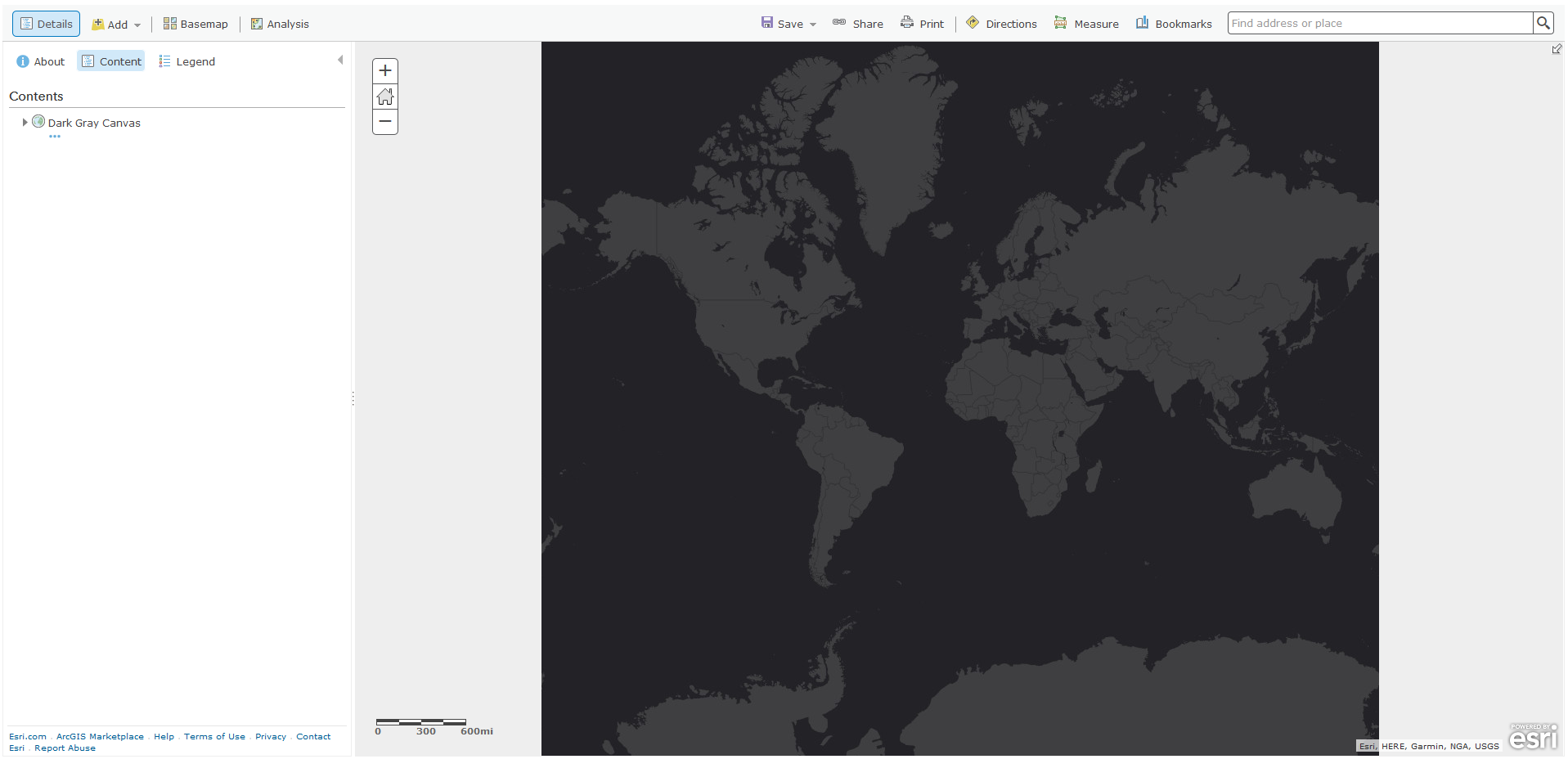
This is because the code is triggered to clip the frame to a specified extent, rather than "auto."

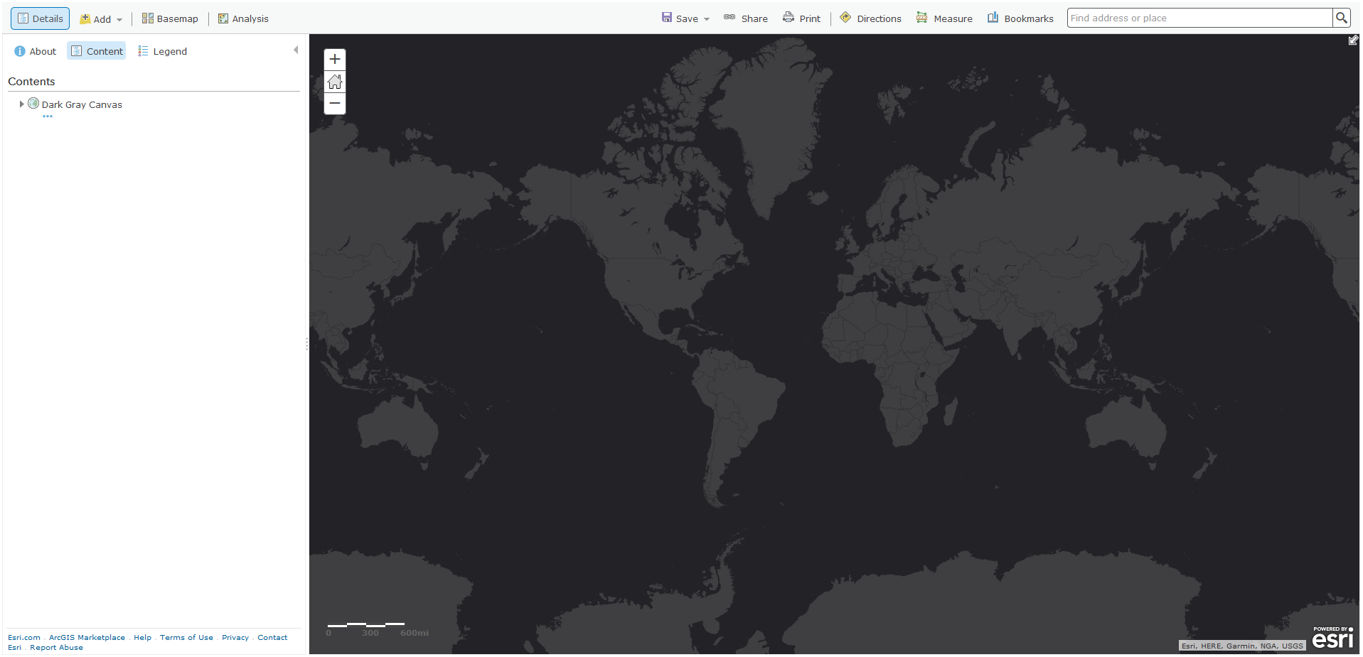
However, if that clip value is changed to "auto," the grey space on the side of the map go away, as seen below:
Here is the change in the code, as made in Firefox inspector:

If this change cannot be made, at least let the user determine what color the null background will appear as, rather than large grey blocks on the edges of the map.