- Home
- :
- All Communities
- :
- Products
- :
- ArcGIS Network Analyst
- :
- ArcGIS Network Analyst Questions
- :
- Re: Service area generation with OSM shapefile
- Subscribe to RSS Feed
- Mark Topic as New
- Mark Topic as Read
- Float this Topic for Current User
- Bookmark
- Subscribe
- Mute
- Printer Friendly Page
Service area generation with OSM shapefile
- Mark as New
- Bookmark
- Subscribe
- Mute
- Subscribe to RSS Feed
- Permalink
Hello,
I need to create a network dataset for generating service areas based on Kilometres and Travel time.
I am using ArcMap10.5, Educational licence. I have downloaded two shapefiles for two countries from
Then, I used Merge tool and output was a feature class. So, I exported it to Single shapefile. I created a network dataset and for "Length" attribute, I chose "Shape" as "Value" in "Elevators" window.
When I create service areas, they are not correctly generated.
Do I have to do anything with the shapefile before creating network datasets?
Thank you!
- Mark as New
- Bookmark
- Subscribe
- Mute
- Subscribe to RSS Feed
- Permalink
show an image of the result. It may not be what you expect... or did you get an error?
- Mark as New
- Bookmark
- Subscribe
- Mute
- Subscribe to RSS Feed
- Permalink
Hi,
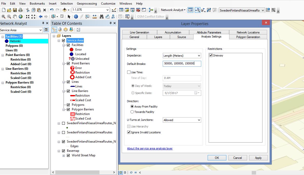
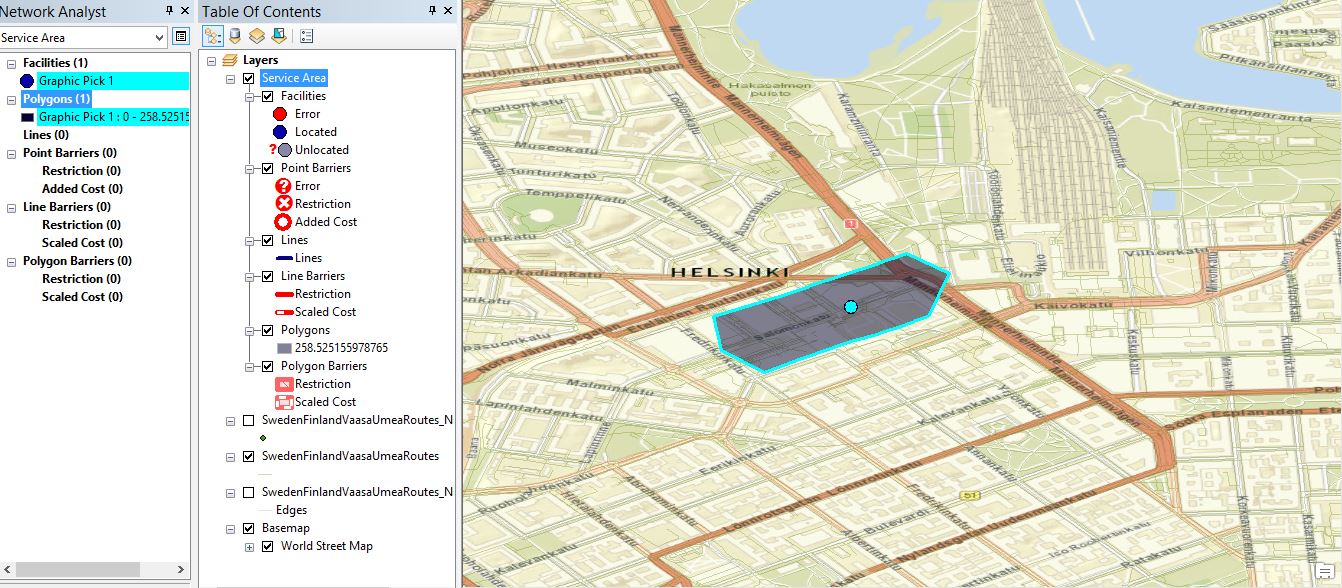
Here are images of the creation process and result.
As it can be seen, I chose to have three 50, 100, and 150 Km service areas, but only one very small service area is created.
Also, if I choose the location by search tab instead of " Add Network Locations" button, no polygon even is created.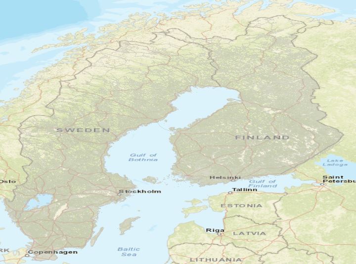
- Mark as New
- Bookmark
- Subscribe
- Mute
- Subscribe to RSS Feed
- Permalink
...but only one very small service area is created...
Try this: create a route interactively by adding a stop point at one of you preferred locations, and another at a spot outside the service area shown. If the route does not solve, get ready for some major editing in your source data. If it does solve, your set up is the problem.
- Mark as New
- Bookmark
- Subscribe
- Mute
- Subscribe to RSS Feed
- Permalink
Data is directly from OpenStreetMap, Is there any modification in OpenStreetMap shapefile required before using it in Network Analyst?
Thanks
- Mark as New
- Bookmark
- Subscribe
- Mute
- Subscribe to RSS Feed
- Permalink
Did the suggested test work?
Any file used for network analysis really needs to be cleaned up for this purpose. I am sure if it has worked for others, then it is probably pretty good. If the suggested test passes, then there is something wrong with your parameters used to set up the network. If it fails, then the network file has 'issues'. Do the test before worrying about anything else.
- Mark as New
- Bookmark
- Subscribe
- Mute
- Subscribe to RSS Feed
- Permalink
Try using this tool to clean up the OSM data prior to turning it into a network dataset.
- Mark as New
- Bookmark
- Subscribe
- Mute
- Subscribe to RSS Feed
- Permalink
Hi Melinda,
I tried to install the tool, but unfortunately, I got this error when opening ArcMap.
"Could not open the specified file "
I googled it, I could not find a solid solution.
- Mark as New
- Bookmark
- Subscribe
- Mute
- Subscribe to RSS Feed
- Permalink
I tried the test.
The route does not solve.
How can I correct the data?
Is there any other open route source data available?
Should I try with other file types from the OpenStreetMap?
Thanks
- Mark as New
- Bookmark
- Subscribe
- Mute
- Subscribe to RSS Feed
- Permalink
Then there is a big break in the network and/or other possible errors during the build process