- Home
- :
- All Communities
- :
- Products
- :
- ArcGIS Network Analyst
- :
- ArcGIS Network Analyst Questions
- :
- Re: Network Analyst - Which type of road is used b...
- Subscribe to RSS Feed
- Mark Topic as New
- Mark Topic as Read
- Float this Topic for Current User
- Bookmark
- Subscribe
- Mute
- Printer Friendly Page
Network Analyst - Which type of road is used by route?
- Mark as New
- Bookmark
- Subscribe
- Mute
- Subscribe to RSS Feed
- Permalink
Hello
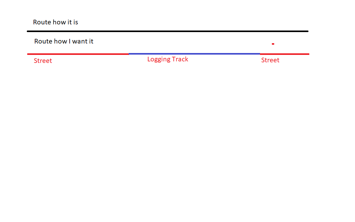
I solved a vehicle routing problem for logging operations. To get to the orders, my route uses two types of roads (streets and logging tracks). The route created is a simple polyline, but I would like to know at which point the route is on logging tracks and on which on the street. Is there a possibility that network analyst can tell me which road type is used? To ilustrate what I want, I draw this quick and dirty sketch.

Solved! Go to Solution.
Accepted Solutions
- Mark as New
- Bookmark
- Subscribe
- Mute
- Subscribe to RSS Feed
- Permalink
Actually, the easiest way is to run the Copy Traversed Source Features tool. This will output feature classes that include the network edges, junctions, and turns that were used to make up the route.
- Mark as New
- Bookmark
- Subscribe
- Mute
- Subscribe to RSS Feed
- Permalink
I think you'll need to perform a spatial selection using the route to select the underlying features of your street data that was used to build the network. The streets have the type info, correct?
- Mark as New
- Bookmark
- Subscribe
- Mute
- Subscribe to RSS Feed
- Permalink
Maybe the least difficult way could be to buffer (small distance) the road types, using a FLAT line end (Advanced license required) and then intersect the route with this buffer to get the road type into the result.
- Mark as New
- Bookmark
- Subscribe
- Mute
- Subscribe to RSS Feed
- Permalink
Actually, the easiest way is to run the Copy Traversed Source Features tool. This will output feature classes that include the network edges, junctions, and turns that were used to make up the route.
- Mark as New
- Bookmark
- Subscribe
- Mute
- Subscribe to RSS Feed
- Permalink
Thanks for sharing MMorang-esristaff . Learning something new every day here.
- Mark as New
- Bookmark
- Subscribe
- Mute
- Subscribe to RSS Feed
- Permalink
As an old Arc/Info user I was wondering, where is the "section" table? lol.
Thank you very much, this command is what I needed.
- Mark as New
- Bookmark
- Subscribe
- Mute
- Subscribe to RSS Feed
- Permalink
When we were designing the route-system, some folks did not want to expose the section attribute table, but I lobbied for it to be visible as it was most useful ![]() And then it became even more useful when we re-wrote the route/allocate products to be in Arcplot and wrote the results out to the RAT/SEC tables. Old memories!
And then it became even more useful when we re-wrote the route/allocate products to be in Arcplot and wrote the results out to the RAT/SEC tables. Old memories!
Jay Sandhu
- Mark as New
- Bookmark
- Subscribe
- Mute
- Subscribe to RSS Feed
- Permalink
Thanks for all the answers. I finally did with the Copy Traversed Source Features tool, it gives me exactly the outpout I want.