Turn on suggestions
Auto-suggest helps you quickly narrow down your search results by suggesting possible matches as you type.
Cancel
- Home
- :
- All Communities
- :
- Products
- :
- Mapping and Charting Solutions
- :
- Mapping and Charting Questions
- :
- aligning data frame
Options
- Subscribe to RSS Feed
- Mark Topic as New
- Mark Topic as Read
- Float this Topic for Current User
- Bookmark
- Subscribe
- Mute
- Printer Friendly Page
aligning data frame
Subscribe
1984
2
01-20-2017 09:02 AM
01-20-2017
09:02 AM
- Mark as New
- Bookmark
- Subscribe
- Mute
- Subscribe to RSS Feed
- Permalink
Hello everyone i am having some trouble with my map on layout view. When i try to adjust the size of my data frame the shapefiles that it consists change size proportionally and i cant align my map with the print boarder. Is there any option i can change that?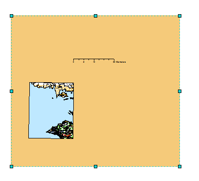

2 Replies
01-20-2017
01:01 PM
- Mark as New
- Bookmark
- Subscribe
- Mute
- Subscribe to RSS Feed
- Permalink
I think that the following link will be helpful:
01-20-2017
01:46 PM
- Mark as New
- Bookmark
- Subscribe
- Mute
- Subscribe to RSS Feed
- Permalink
Less likely, but worth checking if all else fails- check if your data and Data Frame all have a coordinate reference system applied. If some do not, they can change unexpectedly as you zoom in and out.
Chris Donohue, GISP