- Home
- :
- All Communities
- :
- Developers
- :
- JavaScript Maps SDK
- :
- JavaScript Maps SDK Questions
- :
- Re: Why doesn't an arcade expression work on a map...
- Subscribe to RSS Feed
- Mark Topic as New
- Mark Topic as Read
- Float this Topic for Current User
- Bookmark
- Subscribe
- Mute
- Printer Friendly Page
Why doesn't an arcade expression work on a mapImageLayer
- Mark as New
- Bookmark
- Subscribe
- Mute
- Subscribe to RSS Feed
- Permalink
When I apply an arcade expression to the value expression property of my unique value renderer, it doesn't seem to work as expected.
Here is a jsbin example using a modifyed sample that esri provides:
JS Bin - Collaborative JavaScript Debugging
Here is the line in question:
valueExpression: "When($feature.type == 'Gravel', 'test')",
I would expect this to filter the layer down and only show 7 features, just like when the filter is applied in the rest endpoint.
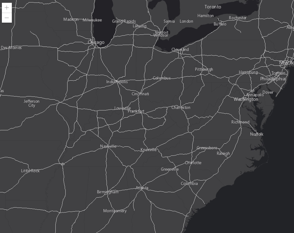
But instead, all of the features in the map adopt the uvr symbol:

Solved! Go to Solution.
Accepted Solutions
- Mark as New
- Bookmark
- Subscribe
- Mute
- Subscribe to RSS Feed
- Permalink
Hello Jack,
As per documentation, Arcade expressions are not supported with MapImageLayers. Only FeatureLayers and SceneLayers are supported.
- Mark as New
- Bookmark
- Subscribe
- Mute
- Subscribe to RSS Feed
- Permalink
Hello Jack,
As per documentation, Arcade expressions are not supported with MapImageLayers. Only FeatureLayers and SceneLayers are supported.
- Mark as New
- Bookmark
- Subscribe
- Mute
- Subscribe to RSS Feed
- Permalink
Thank you for your reply. Do you know if this feature will be supported in a future release? If so, when?
- Mark as New
- Bookmark
- Subscribe
- Mute
- Subscribe to RSS Feed
- Permalink
And are there any possible workarounds to make something similar to this work?
- Mark as New
- Bookmark
- Subscribe
- Mute
- Subscribe to RSS Feed
- Permalink
Hello Jack,
If I am understanding what you are trying to do, you could do the following....
- Do a queryTask on the Map Service. This will return a Feature Set.
- You can use the Feature Set as the source for a Feature Layer object.
- Then apply a unique value renderer to that Feature Layer and add it to the map.
This would display only what you queried, as a custom Feature Layer. Below is sample code I came up with. Let me know if this is a misunderstanding of your question.
require([
"esri/Map",
"esri/views/MapView",
"esri/layers/MapImageLayer",
"esri/tasks/support/Query",
"esri/tasks/QueryTask",
"esri/layers/FeatureLayer",
"dojo/domReady!"
],
function (Map, MapView, MapImageLayer, Query, QueryTask, FeatureLayer) {
//Create a new map and set the basemap to Dark gray
var map = new Map({
basemap: "dark-gray",
//layers: [featureLayer]
});
//set a new view and set the properties of the view
var view = new MapView({
container: "viewDiv",
map: map,
center: [-86.049, 38.485],
zoom: 3
});
var queryStatesTask = new QueryTask({
url: "https://sampleserver6.arcgisonline.com/arcgis/rest/services/USA/MapServer/2"
});
var quakesRenderer = {
type: "simple", // autocasts as new SimpleRenderer()
symbol: {
type: "simple-fill", // autocasts as new SimpleMarkerSymbol()
//style: "circle",
size: 20,
color: [211, 255, 0, 0],
outline: {
width: 1,
color: "#FF0055",
style: "solid"
}
}
}
var query = new Query();
query.where = "state_name = 'California'";
query.returnGeometry = true;
queryStatesTask.execute(query).then(function (result) {
//console.log(result);
var fl = new FeatureLayer({
source: result.features, // autocast as an array of esri/Graphic
// create an instance of esri/layers/support/Field for each field object
fields: result.fields, // This is required when creating a layer from Graphics
objectIdField: "ObjectID", // This must be defined when creating a layer from Graphics
renderer: quakesRenderer, // set the visualization on the layer
spatialReference: result.spatialReference,
geometryType: result.geometryType // Must be set when creating a layer from Graphics
});
map.add(fl);
});
});