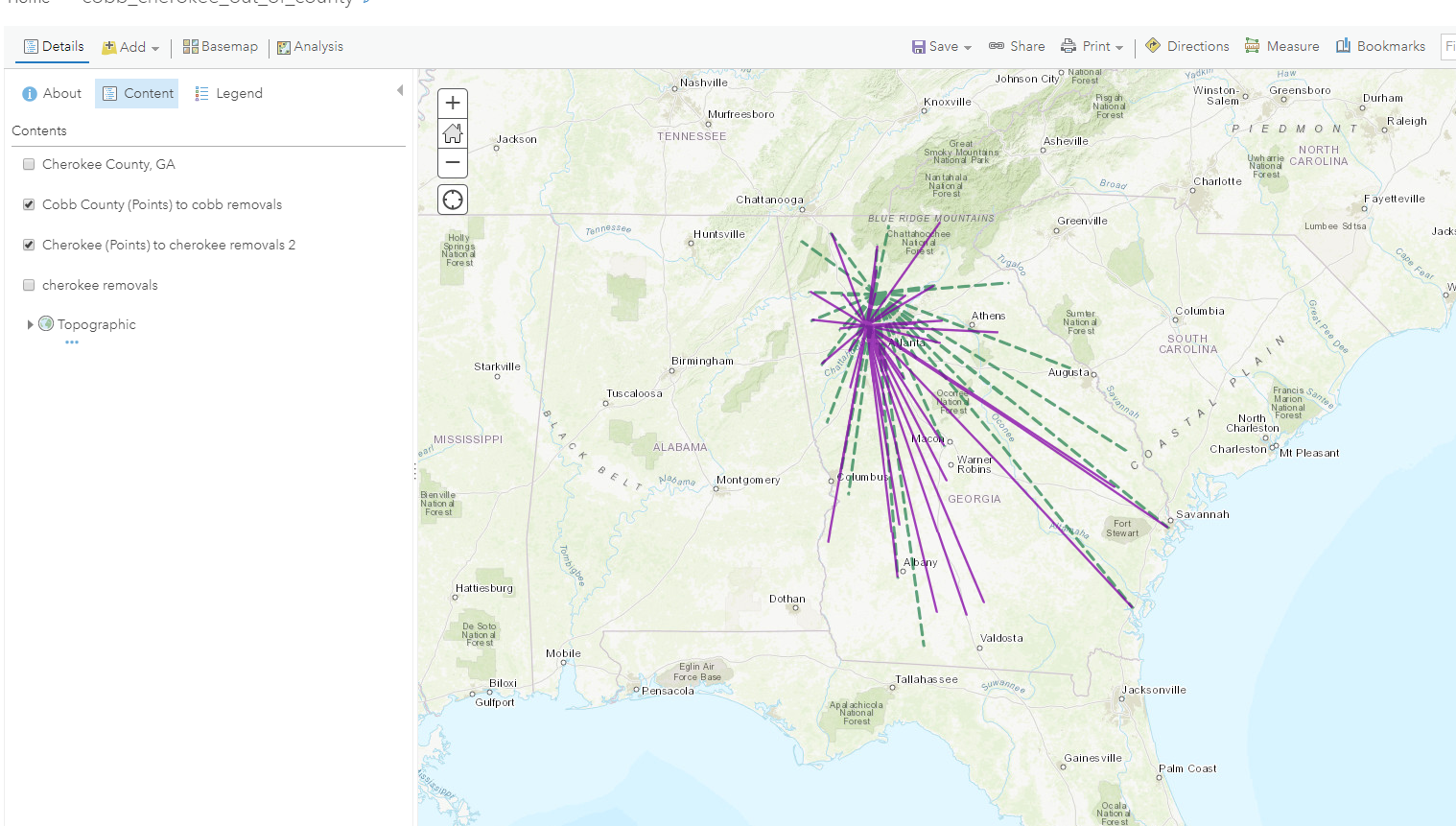
I can create a feature layer in ArcGIS Online using original-destination analysis feature that shows a 'flow map' and routes (as crow flies) from a origination county to many surrounding destination counties. I need to create a flow map in JavaScript webapp. Is there an analysis method i can call from javascript draw the graphics on the fly?