Turn on suggestions
Auto-suggest helps you quickly narrow down your search results by suggesting possible matches as you type.
Cancel
- Home
- :
- All Communities
- :
- Products
- :
- ArcGIS Hub
- :
- ArcGIS Hub Questions
- :
- Re: Shapefile failing to add on map layer
Options
- Subscribe to RSS Feed
- Mark Topic as New
- Mark Topic as Read
- Float this Topic for Current User
- Bookmark
- Subscribe
- Mute
- Printer Friendly Page
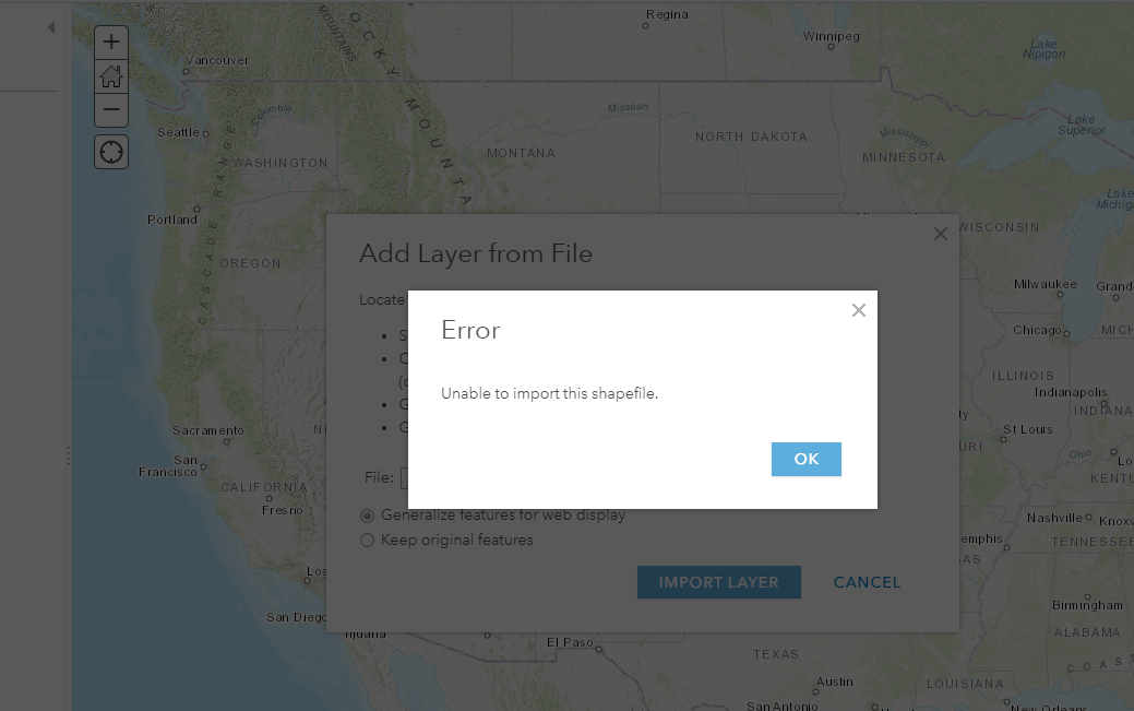
Shapefile failing to add on map layer
Subscribe
719
2
03-23-2020 08:03 AM
2 Replies
03-23-2020
08:31 AM
- Mark as New
- Bookmark
- Subscribe
- Mute
- Subscribe to RSS Feed
- Permalink
Michiana - let's try a different approach. Go to Content in the top ribbon->My Content->Add Item->From your computer, select the zipped shapefile, Add Item. If successful, this will create a hosted feature layer. Then you can click "Open in Map Viewer" to see the layer in a web map. What is the result? Please advise.
03-23-2020
09:32 AM
- Mark as New
- Bookmark
- Subscribe
- Mute
- Subscribe to RSS Feed
- Permalink
Dear Robert
I am able to upload the hosted layer, howver when I open in mapviewer it is sending me locations that are way out of Defiance County Ohio.
It is showing layers from Cameroon.
But I know the data is from Defiance county Ohio and I can verify that in mapshapper as in the second image below.
