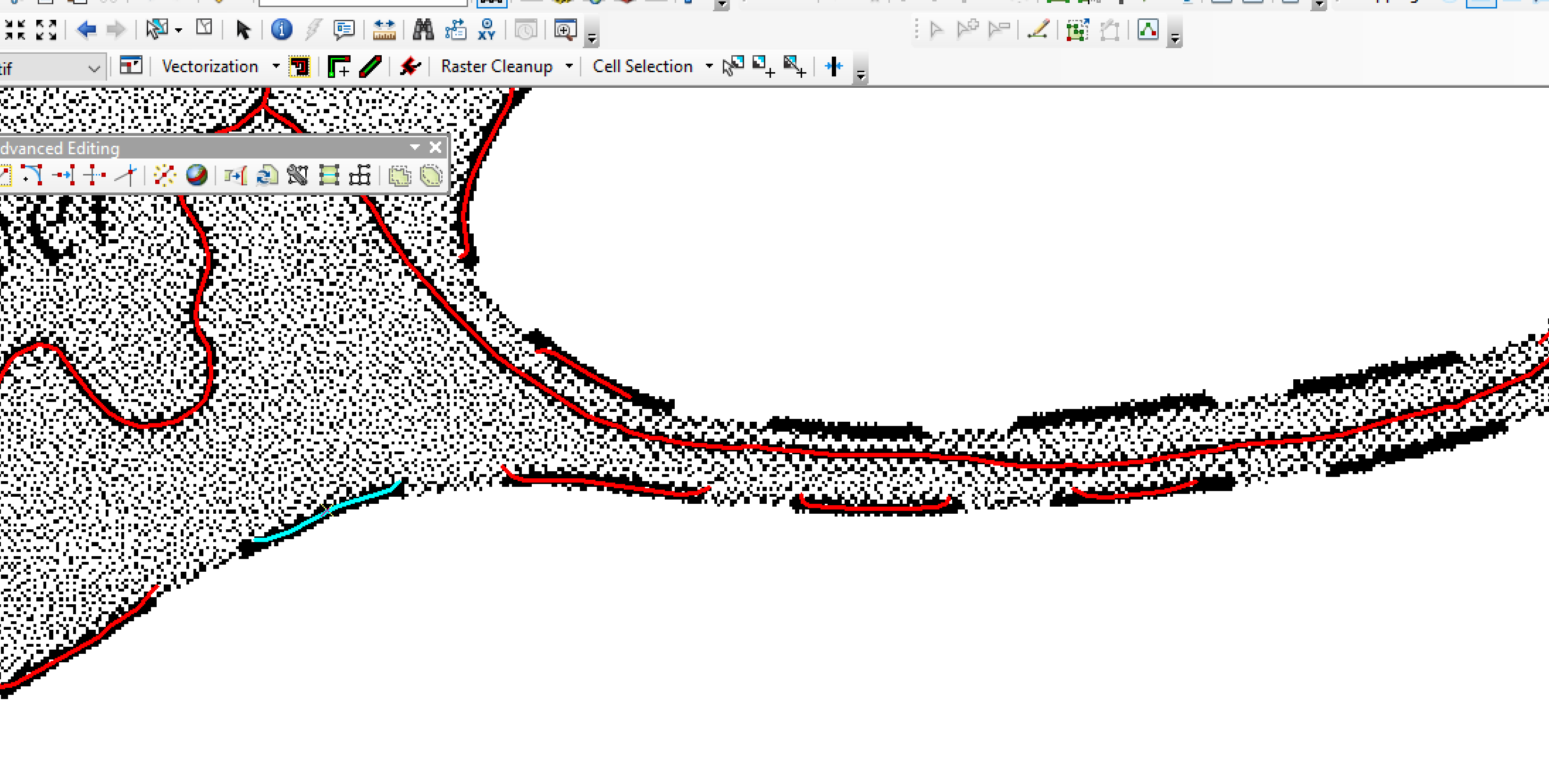
Using ArcScan to vectorize a raster floodplain boundary map, I have selected the area, run ArcScan in the area, to output a Shapefile of the line. ArcScan worked to create the line, and it is a dashed line, so it created a dashed line. However, I need to connect the line. I have used the editor, continue line and connected them at the end points, but I was wondering if there is any way I can automate the joining of the dashed line.
I have tried:
Advanced Editing, Extend Tool, but it only works if the lines are perpendicular to one another.
Editor, Buffer, did not work
I am thinking if I could save the ShapeFile, then re-rasterize it, use ArcScan again on the cleaner dashed line, and then turn on the ArcScan/Vectorization Settings, Gap Closure Tolerance and then it would close the gaps.
I would appreciate any ideas. My apologies if this is difficult to understand. I will post images below.