- Home
- :
- All Communities
- :
- Products
- :
- ArcGIS GeoEvent Server
- :
- ArcGIS GeoEvent Server Questions
- :
- Simple geoevent json connection
- Subscribe to RSS Feed
- Mark Topic as New
- Mark Topic as Read
- Float this Topic for Current User
- Bookmark
- Subscribe
- Mute
- Printer Friendly Page
Simple geoevent json connection
- Mark as New
- Bookmark
- Subscribe
- Mute
- Subscribe to RSS Feed
- Permalink
I have a very simple requirement, data is coming out of event layer through a mapservice.
I need to create simple input using that mapservice query (which is working OK).
the data is changing every 2-3 sec, I need to show that on the javascript map.
questions
1) do I need output and geoevent service created?
2) how do I display the points on the map moving smoothly
RJ Sunderman please help
Thanks,
- Mark as New
- Bookmark
- Subscribe
- Mute
- Subscribe to RSS Feed
- Permalink
My apologies Varun that your question has gone so long without a response.
Stream services provide a smooth visualization experience. If you have not yet found an approach that works for you, I would recommend designing a GeoEvent Service which incorporates a 'Poll an ArcGIS Server for Features' input configured to poll your map service every five seconds (or so). I would configure the input to 'Get Incremental Updates' to avoid receiving all features the map service has to offer every time GeoEvent polls for data.
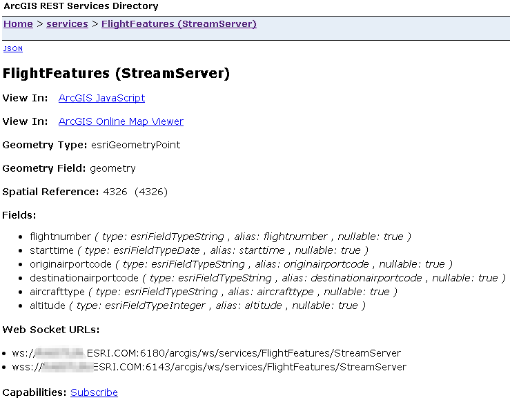
The simplest GeoEvent Service would not include any filtering or processing. Just direct the event data received by the input to a 'Send Features to a Stream Service' output. If you locate your published stream service in your ArcGIS REST Services Directory you should see a link which will allow you to view the feature data being broadcast by the GeoEvent stream service output on a JavaScript web map.
The GeoEvent tutorials contain step-by-step examples and illustrated workflows.
Please take a look specifically at the Stream Services in GeoEvent tutorial.
You may also find the video recording of the Building Real Time Web Applications technical workshop helpful.
Hope this information helps -
RJ