- Home
- :
- All Communities
- :
- Products
- :
- ArcGIS for Office (Retired)
- :
- ArcGIS for Office Questions
- :
- arcmap drawing errors
- Subscribe to RSS Feed
- Mark Topic as New
- Mark Topic as Read
- Float this Topic for Current User
- Bookmark
- Subscribe
- Mute
- Printer Friendly Page
- Mark as New
- Bookmark
- Subscribe
- Mute
- Subscribe to RSS Feed
- Permalink
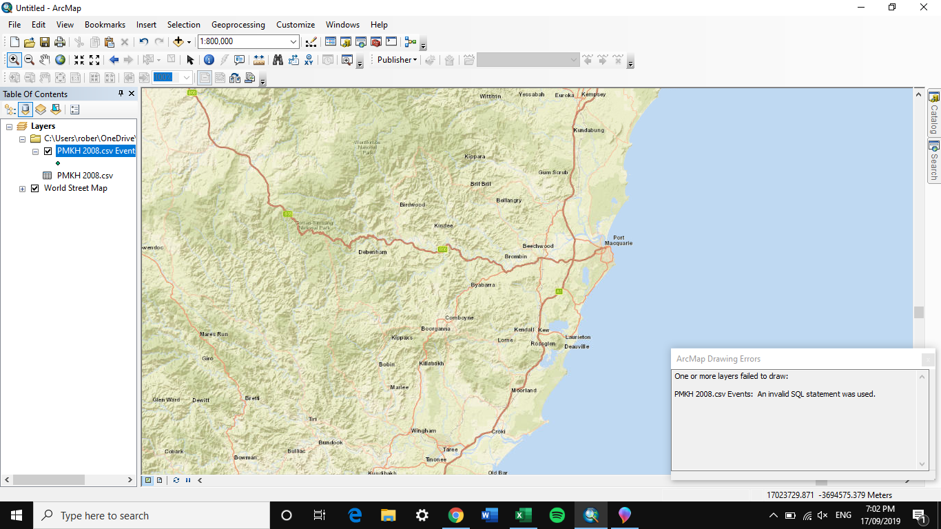
I keep getting the same error message appear:
"One or more layers failed to draw:
[File Name].csv Events: An invalid SQL statement was used."
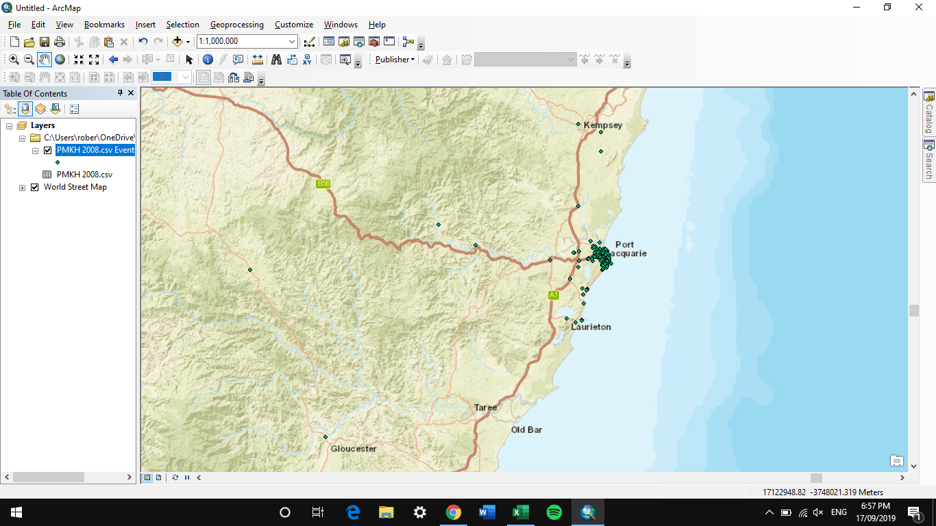
I have noticed that this happens when I zoom in and not all coordinates are visible on the map.
For context I am using basemaps with XY coordinates inputted. These have been saved in a CSV file with 8 decimal points and 'Number' for type in Excel selected.
Please see images below for demonstration of the problem.
Any help will be greatly appreciated. I have tried removing some points but this is a rather slow process and I may need them at some point.
Thank you in advance
Solved! Go to Solution.
Accepted Solutions
- Mark as New
- Bookmark
- Subscribe
- Mute
- Subscribe to RSS Feed
- Permalink
Try exporting your events layer as a feature class (a good practice to follow anytime you add X,Y data). Events layers are very limited and my practice is to always export them before running any type of analysis.
- Mark as New
- Bookmark
- Subscribe
- Mute
- Subscribe to RSS Feed
- Permalink
Good Morning Robert,
I would recommend calling in to chat with Technical Support. They can be reached at 1-888-377-4575.
Best,
SC
- Mark as New
- Bookmark
- Subscribe
- Mute
- Subscribe to RSS Feed
- Permalink
Try exporting your events layer as a feature class (a good practice to follow anytime you add X,Y data). Events layers are very limited and my practice is to always export them before running any type of analysis.
- Mark as New
- Bookmark
- Subscribe
- Mute
- Subscribe to RSS Feed
- Permalink
Thank you so much! This worked perfectly. I must have missed a step when inputting the data previously!