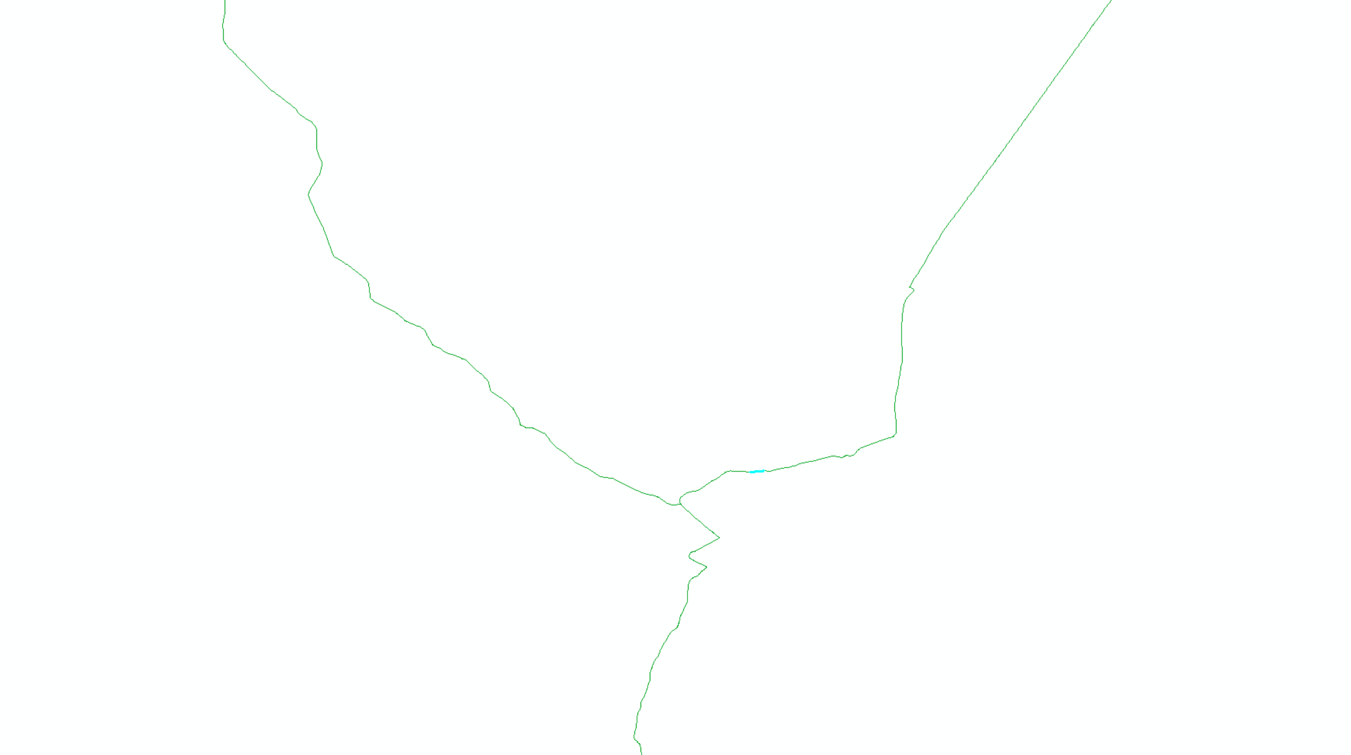
I used North America Major Highway map to find shorthest path between 9 points with closest facility. Then, I exported this shorthest route. Since, I need to split line at their intersection, I used feature to line management tool. However, I had a line like in the second picture below (blue line). I have no idea why I have line like blue segments in the second picture. Any help will be appreciated.