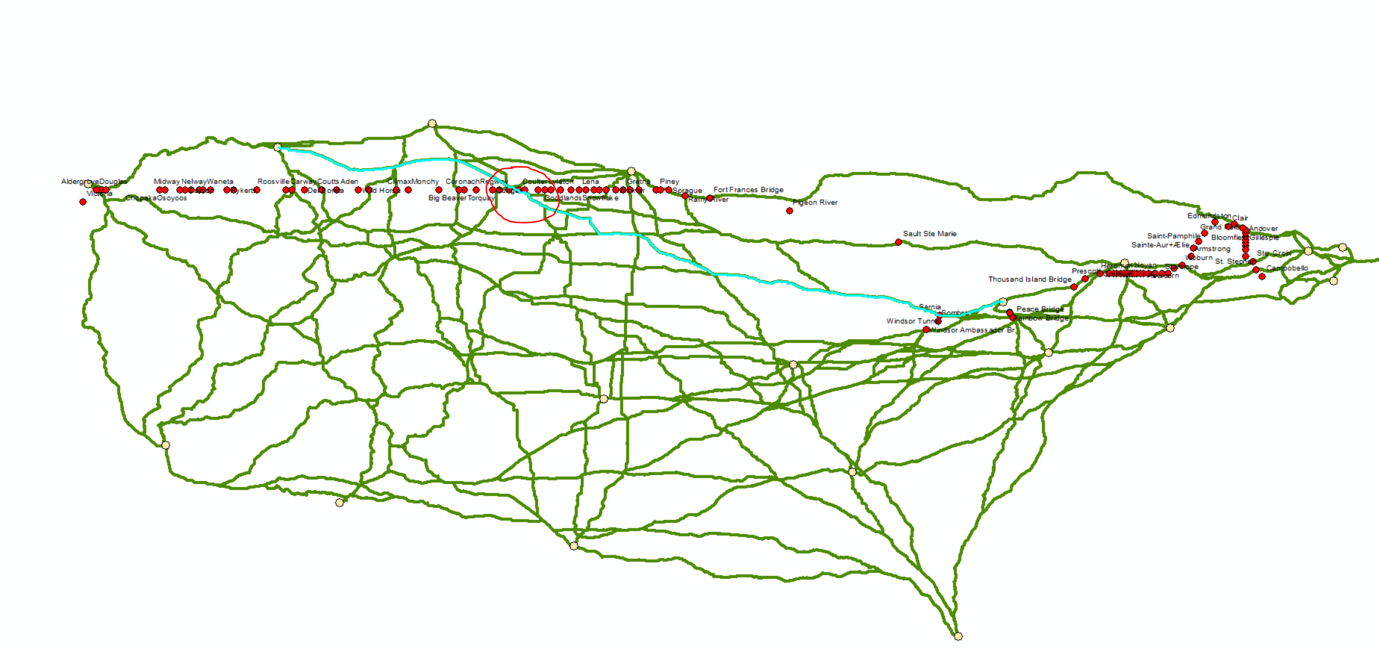
I have 19 locations in Canada and USA. I also have USA-Canada border lat long information (red dots in Picture).
I found shorthest path between each locations using closest facility analysis, please see in the picture.
For each O-D pairs shorthest route, I want to see if they cross the border, which border it is used ? I want to add this information in shorthest path attribute table by creating column. Is there a way to see which border locates on which shorthest path ?
I am stuck at this point. Any suggestion would be appreciated ! If my question is not clear, please let me know then I can clarify more. I spent so much time on it. Please share what you think.