Hi,
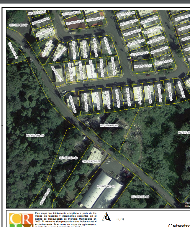
I have a question, I created a map service with cache and tiles. The ArcGIS online last scale is 1:1,128 but i need one more scale so I create other tile scale until 1:500.
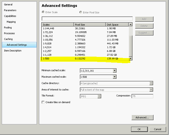
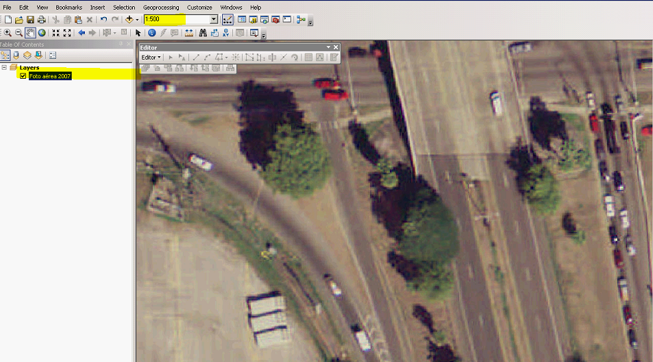
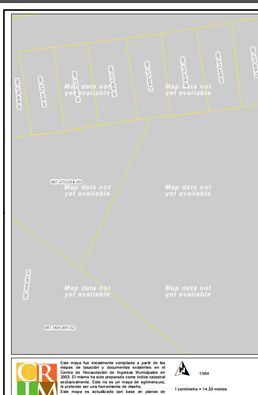
I can see 500 tile in ArcMap
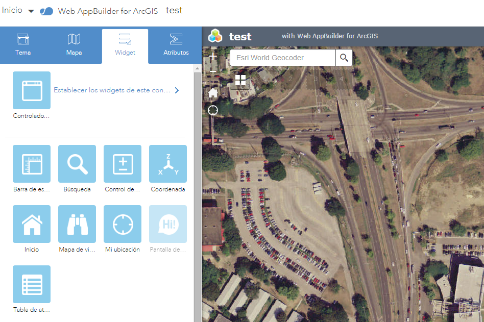
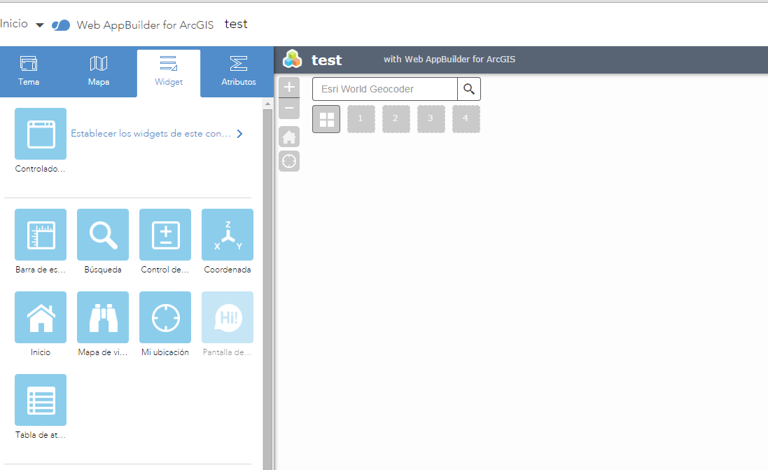
But when i zoom in WAB using the cache service i cannot see the tile and the service donot do resampling
(1:2257)
(1:500)
My question is, Why i cannot see the scale 500 in WAB? How can I activate resampling option? I had to create a next scale because when I use Imagery service from AGOL, it does resampling but when I use Printing widget in scale 1:1128 I can print
but when I zoom in, in the resampling area it does not show the image and there are some times I need to print a more defined structure
Thanks for your help!
Diego Llamas