Turn on suggestions
Auto-suggest helps you quickly narrow down your search results by suggesting possible matches as you type.
Cancel
- Home
- :
- All Communities
- :
- Products
- :
- ArcGIS Enterprise
- :
- ArcGIS Enterprise Portal Questions
- :
- Improving Label Positioning Without Maplex?
Options
- Subscribe to RSS Feed
- Mark Topic as New
- Mark Topic as Read
- Float this Topic for Current User
- Bookmark
- Subscribe
- Mute
- Printer Friendly Page
Improving Label Positioning Without Maplex?
Subscribe
2267
1
07-23-2013 08:59 PM
07-23-2013
08:59 PM
- Mark as New
- Bookmark
- Subscribe
- Mute
- Subscribe to RSS Feed
- Permalink
[ATTACH=CONFIG]26166[/ATTACH]
Hi,
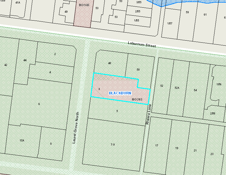
We are publishing a map service and are having real trouble with labelling. This is accentuated, as our user base is used to the previous IMS service with labelling positioned as optimum!
On the attached image you can see that the Green hatched area (Landscape Planning Overlay) is not labelled. (often it IS labelled, but way off to the left. Ideally, the label should be located near the centre off the map, as this is where the user is interrogating the map.
This layer is set as as Label Weight = High. It is also set as the highest Label Priority, using the Labelling toolbar.
There are 11 Planning Overlays which must be used in conjunction, and may overlap. Labelling is equally important for all.
We can't use Maplex - on ESRI's advice - as this affects rendering performance over a map service.
I would be tempted to use Maplex for these layers, but it appears its 'all layers or none' with Maplex.
Is this a case where I should be investigating Cartographic Representations? Or will these slow map performance, as do many other Arcmap cartographic enhancements?
Thanks,
Steve
Hi,
We are publishing a map service and are having real trouble with labelling. This is accentuated, as our user base is used to the previous IMS service with labelling positioned as optimum!
On the attached image you can see that the Green hatched area (Landscape Planning Overlay) is not labelled. (often it IS labelled, but way off to the left. Ideally, the label should be located near the centre off the map, as this is where the user is interrogating the map.
This layer is set as as Label Weight = High. It is also set as the highest Label Priority, using the Labelling toolbar.
There are 11 Planning Overlays which must be used in conjunction, and may overlap. Labelling is equally important for all.
We can't use Maplex - on ESRI's advice - as this affects rendering performance over a map service.
I would be tempted to use Maplex for these layers, but it appears its 'all layers or none' with Maplex.
Is this a case where I should be investigating Cartographic Representations? Or will these slow map performance, as do many other Arcmap cartographic enhancements?
Thanks,
Steve
1 Reply
07-25-2013
05:33 AM
- Mark as New
- Bookmark
- Subscribe
- Mute
- Subscribe to RSS Feed
- Permalink
You've probably already done these but since they weren't mentioned in your post I'll suggest them:
Make sure your feature weights are less than high, all of them being none is best.
Try Maplex in practice, and note that it has two settings, fast and best.
If you have many and/or complex label queries or expressions as part of your labeling, see if you can instead set up your labels in a way that reduces the processing required to create them. For instance you could try using the labeling layer multiple times in a project with different definition queries on the layer, and then each wouldn't need multiple classes or other label queries or complex expressions. Alternately you might be able to add fields that have the "pre-made" labels in them.
Maybe some labels might work best if you create a point layer from your polygons, and then label the points, which would allow you to fine tune point location.
There are always tradeoffs. You might find that labels set to display at different scale speeds things up, but maybe the processing to do that slows it down. So there's no substitute to just fiddling around with all the settings on your machines to see how it all works.