- Home
- :
- All Communities
- :
- Products
- :
- ArcGIS Reality
- :
- ArcGIS Drone2Map
- :
- ArcGIS Drone2Map Questions
- :
- Enable Rolling Shutter Correction?
- Subscribe to RSS Feed
- Mark Topic as New
- Mark Topic as Read
- Float this Topic for Current User
- Bookmark
- Subscribe
- Mute
- Printer Friendly Page
Enable Rolling Shutter Correction?
- Mark as New
- Bookmark
- Subscribe
- Mute
- Subscribe to RSS Feed
- Permalink
Where is the option to enable correction for rolling shutter in Drone2Map 2.0.1?
There is mention of an "Image Properties Window" in some online documentation (Image properties—Drone2Map for ArcGIS Help | ArcGIS ) but that seems to be for 1.3x and there is no actual documentation on how to access that window.
Any help or guidance would be greatly appreciated.
- Mark as New
- Bookmark
- Subscribe
- Mute
- Subscribe to RSS Feed
- Permalink
Jarrett
In Drone2Map 2.0, the software will automatically apply the rolling shutter correction if the camera is known to have a this type of shutter.
Cody B.
- Mark as New
- Bookmark
- Subscribe
- Mute
- Subscribe to RSS Feed
- Permalink
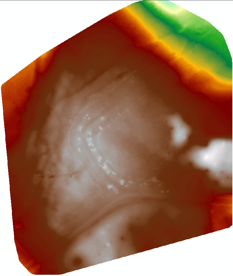
I am using a DJI Mavic 2 Pro and it does not seem to have any rolling shutter correction as the bowl effect is very visible (even more so with the point cloud):

- Mark as New
- Bookmark
- Subscribe
- Mute
- Subscribe to RSS Feed
- Permalink
I'm finding the same exact issue also with the Mavic 2 Pro, what is your image overlap set at?