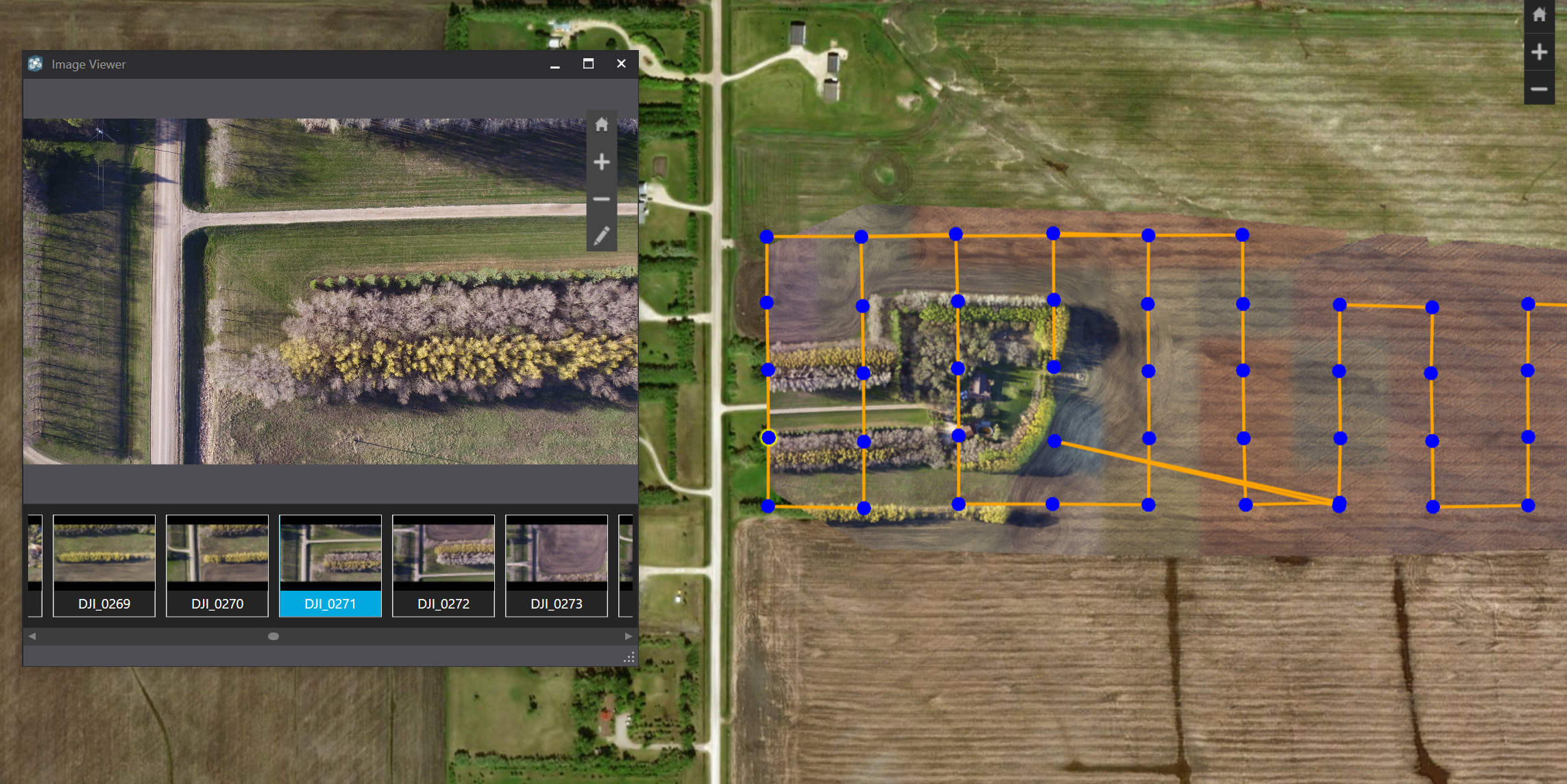
When processing completes, the images around the border of my aerial data do not get displayed. I've included a few screenshots to illustrate what I'm talking about. As you can see, there are quality images for the far west side and far east side of the map, but they do not get included in the processed result. I've also included the processing report.
Any guidance would be greatly appreciated. Thanks


