Turn on suggestions
Auto-suggest helps you quickly narrow down your search results by suggesting possible matches as you type.
Cancel
- Home
- :
- All Communities
- :
- Products
- :
- ArcGIS Collector
- :
- ArcGIS Collector Questions
- :
- Re: Another Disconnected Sync Error
Options
- Subscribe to RSS Feed
- Mark Topic as New
- Mark Topic as Read
- Float this Topic for Current User
- Bookmark
- Subscribe
- Mute
- Printer Friendly Page
Another Disconnected Sync Error
Subscribe
6264
7
05-12-2014 09:47 AM
05-12-2014
09:47 AM
- Mark as New
- Bookmark
- Subscribe
- Mute
- Subscribe to RSS Feed
- Permalink
Hello!
I just collected 2 days worth of data on my Android Tab with the latest version of Collector. I downloaded the map to the tablet on Day 1 and was able to sync it before I began editing and adding new features. However, after a day of adding points, editing features and photo attachments, I get a sync error.
After a long field day and the sync error, I decided to "Save As" the map on ArcGIS online and download the map again with a different name (and different cached basemap range). I collected day two data with the same methods and again, sync error at the end of the day.
I have tried to sync on multiple wifi spots over multiple days. I have read that "required fields" might cause an issue. I do not think I purposefully required fields, but now I am not sure how to check to see if I have required fields.
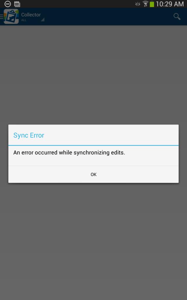
My error is attached.
I am not sure how send a link to the map, but it is shared.
The map content I am editing is here:
http://services.arcgis.com/aa38u6OgfNoCkTJ6/arcgis/rest/services/SanJoaquinV6/FeatureServer/2
http://services.arcgis.com/aa38u6OgfNoCkTJ6/arcgis/rest/services/SanJoaquinV6/FeatureServer/2
Any help would be greatly appreciated!
Adam
I just collected 2 days worth of data on my Android Tab with the latest version of Collector. I downloaded the map to the tablet on Day 1 and was able to sync it before I began editing and adding new features. However, after a day of adding points, editing features and photo attachments, I get a sync error.
After a long field day and the sync error, I decided to "Save As" the map on ArcGIS online and download the map again with a different name (and different cached basemap range). I collected day two data with the same methods and again, sync error at the end of the day.
I have tried to sync on multiple wifi spots over multiple days. I have read that "required fields" might cause an issue. I do not think I purposefully required fields, but now I am not sure how to check to see if I have required fields.
My error is attached.
I am not sure how send a link to the map, but it is shared.
The map content I am editing is here:
http://services.arcgis.com/aa38u6OgfNoCkTJ6/arcgis/rest/services/SanJoaquinV6/FeatureServer/2
http://services.arcgis.com/aa38u6OgfNoCkTJ6/arcgis/rest/services/SanJoaquinV6/FeatureServer/2
Any help would be greatly appreciated!
Adam
7 Replies
05-13-2014
07:01 AM
- Mark as New
- Bookmark
- Subscribe
- Mute
- Subscribe to RSS Feed
- Permalink
I went ahead and did a little more testing. I renamed my map and downloaded it again to the same tablet. The tablet synced immediately after downloading, as expected. Then I added a point, filled in the data and even attached a picture. After saving edits, I synced and it worked.
So right now have three identical maps (only difference is the name) downloaded to my tablet.
1 has 89 items to sync and it will not sync
1 has 72 items to sync and it will not sync
1 had 2 items to sync and it synced.
Based on this information, I believe my feature layer is able be edited and data collected and then synced. What else could be causing my error? Is there a limit to amount of data, points, items, or photos that can be synced?
Any thoughts are welcome. This is two days of work collected in a remote location, I cannot recreate the work easily. This is the first application of Collector in my agency and so far I am not impressed.
Thanks!
05-13-2014
07:30 AM
- Mark as New
- Bookmark
- Subscribe
- Mute
- Subscribe to RSS Feed
- Permalink
We had similar trouble with the apple version. tested a few points at the office and everything worked fine. Sent it to the field to collect for a day and it wouldn't sync. We ended up removing the image attachment from every point (save the image to your device first if it isn't already in your gallery). Once the images were removed the offline points synced just fine. We then had to reattach photos after the fact in AGOL.
Not an ideal workaround, but at least it got the field data collected off the device.
Not sure if your error is the same as the one we had with the apple version, but the above might be worth a shot.
Not an ideal workaround, but at least it got the field data collected off the device.
Not sure if your error is the same as the one we had with the apple version, but the above might be worth a shot.
05-13-2014
07:54 AM
- Mark as New
- Bookmark
- Subscribe
- Mute
- Subscribe to RSS Feed
- Permalink
Thanks for the advice Kevin. I was able to sync a version of my map with 2 points, 1 of which had an attached photo. When you were testing in the office, were you successfully syncing with attached photos? Sounds like we might be running up against a size/number limit once we get in the field and collect more data?
I just pulled all the pictures off my tablet and I did not have geotagging on! Another lesson learned. Luckily I have a handheld GPS track I can sync to. I guess I can record attached file names manually as I remove the attachment (6 finger presses x 107 photos = way more work than I expected!) and then re-link them in ArcGIS desktop in some way.
Thanks again. I think I will wait a day or two to see if other solutions arise. I am back in the field next week and hope to have a resolution by then. Otherwise, I will be removing my attachments and exhaling loudly.
Adam
05-13-2014
08:25 AM
- Mark as New
- Bookmark
- Subscribe
- Mute
- Subscribe to RSS Feed
- Permalink
Yeah it would kind of stink to remove the 107 attachments and find out that the workaround that worked for us did not work for you. To save storage space in the future, consider going into your camera app on android and set the resolution to the lowest possible to save storage space and credit usage in AGOL. There is no need to upload hundreds of 16 megapixel photos of a street sign, if a 0.3 megapixel photo would have done just as well.
Also, under data management tools / photos in the esri desktop toolbox there is a tool to automatically plot GIS points from geotagged photos. So if your photos had been geotagged, you could have used that as a fall back. Although my experience is the gps location on the geotag is pretty rough.
Also, under data management tools / photos in the esri desktop toolbox there is a tool to automatically plot GIS points from geotagged photos. So if your photos had been geotagged, you could have used that as a fall back. Although my experience is the gps location on the geotag is pretty rough.
05-13-2014
10:39 PM
- Mark as New
- Bookmark
- Subscribe
- Mute
- Subscribe to RSS Feed
- Permalink
We had similar trouble with the apple version. tested a few points at the office and everything worked fine. Sent it to the field to collect for a day and it wouldn't sync. We ended up removing the image attachment from every point (save the image to your device first if it isn't already in your gallery). Once the images were removed the offline points synced just fine. We then had to reattach photos after the fact in AGOL.
Not an ideal workaround, but at least it got the field data collected off the device.
Not sure if your error is the same as the one we had with the apple version, but the above might be worth a shot.
What version of Collector for iOS were you using? Do you have any idea what the total size of all of the attachments was? With Collector 10.2.3 you should be able to sync up to 2GB of features+attachments on iOS. On Android, you can sync ~200MB to hosted services and up to 2GB to classic ArcGIS Server services
05-14-2014
06:59 AM
- Mark as New
- Bookmark
- Subscribe
- Mute
- Subscribe to RSS Feed
- Permalink
Hi Eric-
I know you are asking Kevin about iOS, but I have a few questions about my issue on Collector 10.2.3 Android (the issue on this thread). Is there a way to check the size of my attachments and features in Android? I offloaded the photos (the only attachements) seperately with a different app from tablet, I had 64 photos at 99 MB on the Day 1 map, on Day 2 I had 43 photos at 68MB on a second map.
Assuming the photo attachment size is consistent with the .jpg size I pulled off the tablet, my attachements should fall well below 200MB. According to Collector, I have 89 point features (Day 1/Map 1) and 72 point features (Day 2/Map 2) to Sync. I don't how big those features are size wise in Collector, but I assume <5MB. There are two other layers, one point and one poly, were not updated in field, in the map. Again, maybe <5 MB
If the Sync limit also considers the Basemap, those were sizable. I forget the exact amount, but they were in 650MB-just less than 1GB range for each map (each map covered an adjacent reach of river). ESRI basemap aerial photos, maybe 10 to 15 square miles, highest resolution.
I am not sure how to check these sizes on the Android platform, however, it does make me think that there is size issue. See my test earlier in the thread, it will Sync with 2 updated features and 1 attachement for a copy of the same map used above. I would rather not start removing attachments like Kevin needed to do, but if I do, I could do it 10 attachment increments at retry Sync.
Does it sound like a size limit issue to you? Is there a better way to estimate the size of my Sync than I have discribed above?
Thanks!
Adam
08-22-2014
09:51 AM
- Mark as New
- Bookmark
- Subscribe
- Mute
- Subscribe to RSS Feed
- Permalink
I've had similar sync issues with Garmin Monterras, running android, but I was not trying to sync any photos, just two simple tracks and a point. Fairly disconcerting when rolling out a dozen units to collect data in remote areas.
I've had this issue now on several maps, on several platforms, and several devices.