Turn on suggestions
Auto-suggest helps you quickly narrow down your search results by suggesting possible matches as you type.
Cancel
- Home
- :
- All Communities
- :
- Developers
- :
- ArcGIS API Silverlight (Retired)
- :
- ArcGIS API Silverlight Questions
- :
- featuredatagrid and binding with graphicslayers &a...
Options
- Subscribe to RSS Feed
- Mark Topic as New
- Mark Topic as Read
- Float this Topic for Current User
- Bookmark
- Subscribe
- Mute
- Printer Friendly Page
featuredatagrid and binding with graphicslayers & featurelayers
Subscribe
3822
17
08-11-2010 09:19 AM
08-11-2010
09:19 AM
- Mark as New
- Bookmark
- Subscribe
- Mute
- Subscribe to RSS Feed
- Permalink
Hi there,
I'm creating a featuredatagrid that I want to link with my map (select grid, map graphic selected and vice versa a la this example: http://help.arcgis.com/en/webapi/silverlight/samples/start.htm#FeatureDataGrid)
but I need my featuredatagrid to reference a GraphicsLayer, not a FeatureLayer
...I create my GraphicsLayer in the xaml:
<esri:GraphicsLayer ID="StormRegions"/>
...do the binding in the xaml:
<esri:FeatureDataGrid Grid.Row="2" x:Name="stormsDataGrid" Visibility="Visible"
Map="{Binding ElementName=RiskMap}"
GraphicsLayer="{Binding ElementName=RiskMap, Path=Layers.[StormRegions]}"
...and then reference in my code behind:
stormPolys = RiskMap.Layers["StormRegions"] as GraphicsLayer;
...and then populate the GraphicsLayer:
stormPolys.Graphics.Insert(0, feature);
The problem is, in binding a GraphicsLayer, I don't seem to get the same kind of map-datagrid-selection-interaction that binding a FeatureLayer to a FeatureDataGrid seems to acheive.
Has anyone managed to achieve this someone?
Thanks in Advance,
Mike
17 Replies
08-13-2010
09:18 AM
- Mark as New
- Bookmark
- Subscribe
- Mute
- Subscribe to RSS Feed
- Permalink
Have you verified whether graphic collection in your feature set have their geometry set? If that's the case then you have issues in your service. I would also suggest to check whether there is an extent associated with each graphic returned by your service as they may have NULL extents (another possible issue).
08-16-2010
08:42 AM
- Mark as New
- Bookmark
- Subscribe
- Mute
- Subscribe to RSS Feed
- Permalink
It could also be the case that the spatial reference of your map doesn't match the spatial reference of your GraphicsLayer. You can explicitly set the spatial reference of your map control by defining an extent with an envelope in which its spatial reference is explicitly defined (if you're doing this in the code-behind make sure it's done before any of your layers getting initialized).
08-18-2010
01:47 AM
- Mark as New
- Bookmark
- Subscribe
- Mute
- Subscribe to RSS Feed
- Permalink
Hi Ali,
You've pointed me in the right direction.
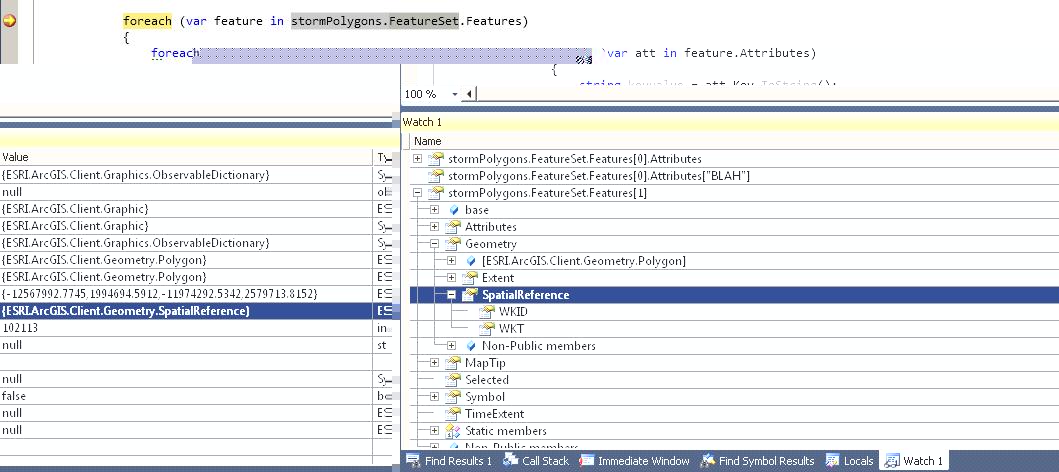
My problem was that the base layer which I was using was in WGS84 projection (ESRI_StreetMap_World_2D,4326) and my service was in web mercator (102113).
When I switched my base map to Worrld_Street_Map (Web Mercator Auxilary - 10211), the graphics rendered.
It's a bit odd that my dynamicMapServiceLayer will render over the WGS84 Map, but create a graphicsLayer from this dynamicService and the graphics won't renender.
Anyhow, your transparent symbology xaml code works a treat!
Thanks again.
Mike
You've pointed me in the right direction.
My problem was that the base layer which I was using was in WGS84 projection (ESRI_StreetMap_World_2D,4326) and my service was in web mercator (102113).
When I switched my base map to Worrld_Street_Map (Web Mercator Auxilary - 10211), the graphics rendered.
It's a bit odd that my dynamicMapServiceLayer will render over the WGS84 Map, but create a graphicsLayer from this dynamicService and the graphics won't renender.
Anyhow, your transparent symbology xaml code works a treat!
Thanks again.
Mike
08-18-2010
06:53 AM
- Mark as New
- Bookmark
- Subscribe
- Mute
- Subscribe to RSS Feed
- Permalink
Hello Mike,
I'm glad that you figured out the problem! Just for your reference I'm adding a quote from ESRI API reference in regards to this issue:
I'm glad that you figured out the problem! Just for your reference I'm adding a quote from ESRI API reference in regards to this issue:
Spatial Reference: The Map's spatial reference is determined by the first layer in the map that has this property set. However, it can be overridden by explicitly setting the Extent property with an envelope that has a SpatialReference defined. This has to be done before any layers will be initalized by the map. Once the spatial reference of a map has been set and the layers has loaded, the spatial reference can no longer be changed. If you need to change spatial reference on the fly, you can instead create a new map instance, move the layers to this map, and replace the previous map instance. Also note that tiled layers does not support reprojection, and will not be displayed if the Map's SpatialReference does not match the spatial reference of the tiled layer.
08-18-2010
06:56 AM
- Mark as New
- Bookmark
- Subscribe
- Mute
- Subscribe to RSS Feed
- Permalink
Thanks Ali,
what does this look like in code: "envelope that has a SpatialReference defined"?
because I thought envelope just allows you to define a north,east, south, west but not a spatial reference.
Thanks,
Mike
what does this look like in code: "envelope that has a SpatialReference defined"?
because I thought envelope just allows you to define a north,east, south, west but not a spatial reference.
Thanks,
Mike
08-18-2010
07:03 AM
- Mark as New
- Bookmark
- Subscribe
- Mute
- Subscribe to RSS Feed
- Permalink
Here is a sample:
<esri:Map x:Name="MyMap">
            <esri:Map.Extent>
                <esri:Envelope XMin="661140" YMin="-1420246" XMax="3015668" YMax="1594451" >
                    <esri:Envelope.SpatialReference>
                        <esri:SpatialReference WKID="26777"/>
                    </esri:Envelope.SpatialReference>
                </esri:Envelope>
            </esri:Map.Extent>
            <!-- Layer definitions here -->
</esri:Map>
09-20-2010
06:49 AM
- Mark as New
- Bookmark
- Subscribe
- Mute
- Subscribe to RSS Feed
- Permalink
I use a Classbreak renderer on my featurelayer. The featurelayer is bound to the featuredatagrid. More or less like in example http://help.arcgis.com/en/webapi/silverlight/samples/start.htm#FeatureDataGrid When I do it like this, I then only see the graphicslayer (all features with the same symbol, except the selected one) but not anymore the featurelayer with it's classbreakrenderer. I also tried with Ali's example (transparent symbology with blue border of the selected object), but then also, I only see the selected graphics of the graphic layer, but not the featurelayer class breaks. How would you do that to combine a classbreakrenderer and a featuredatagrid? Would you add the same featurelayer twice and bind the featuredatagrid to one of them? Or would I have to add the controltemplate by code when i generate the class breaks? Thanks for any suggestions.
- « Previous
-
- 1
- 2
- Next »
- « Previous
-
- 1
- 2
- Next »