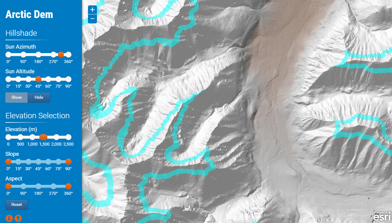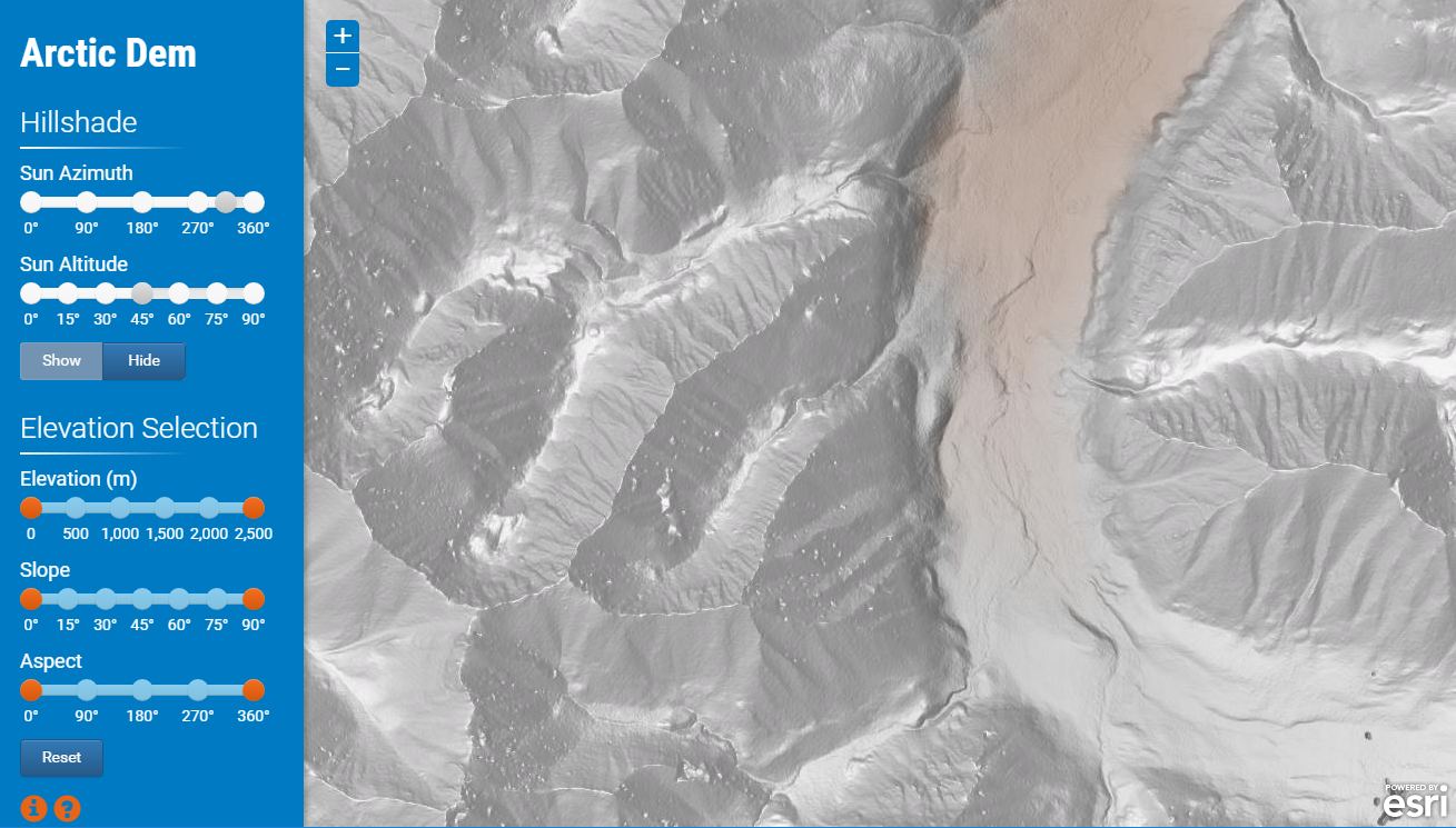
Arctic Dem is a prototype app developed a few years ago in conjunction with President Barack Obama's executive order calling to "enhance coordination of national efforts in the Arctic" . With a small preliminary dataset from the Polar Geospatial Center we created this proof of concept. Our intention was to experiment with the dynamic rendering of ArcGIS Image Services. For example, the first two sliders define the sun's position used by the image service to dynamically generate a hillshade from the elevation dataset. The second group of sliders are used to highlight a subset of elevation pixels that satisfy the height, slope and aspect criteria. Likewise, this rendering is performed dynamically using out-of-the-box rendering functions.

Easter Egg: Click the "hillshade" label to toggle between the standard hillshade function and a multi-directional hillshade custom function. Please click here to access a global multi-directional hillshade.
For a detailed description of the data and a user guide please click the orange buttons in the lower left hand corner of the application.
Click here for the live application.
Click here for the source code.
For the production application please visit the ArcticDEM Explorer and read the associated press release. Special thanks to David Johnson for preparing and republishing this service.