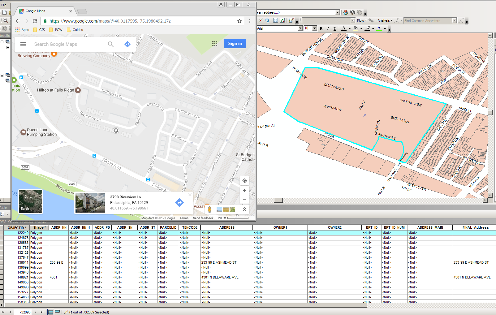
I have a table that contains a unique ID and an address for each record. I also have a parcel layer of polygons that contains null values for the address field. I don't want to geocode the table because it places my points in the street -- hence my use of a parcel layer.
I need to figure out a way to copy the geometric parcel feature and paste several times in the table to update all of the addresses within the parcel. For example, the below image is a parcel with empty values. It contains several addresses as indicated by Google Maps. So I would like the 70 addresses or so to have their own parcel record (i.e. geometric attribute). I need to repeat this process for every parcel that has NULL values for the address field and contains many addresses within it.
I am open to python scripting, but I am not savvy with insert cursor. Any help would be greatly appreciated! Thanks.
