- Home
- :
- All Communities
- :
- Products
- :
- 3D
- :
- 3D Mapping Questions
- :
- Re: Georeferencing
- Subscribe to RSS Feed
- Mark Topic as New
- Mark Topic as Read
- Float this Topic for Current User
- Bookmark
- Subscribe
- Mute
- Printer Friendly Page
Georeferencing
- Mark as New
- Bookmark
- Subscribe
- Mute
- Subscribe to RSS Feed
- Permalink
So in lieu of orthorectification (the drone I'm using does not provide geographic data) I have decided to try georeferencing as a means of overlaying aerial photography onto my DEM. Before I go out there and start taking some control points with the differential GPS I was hoping I could get some advice. I've done this in class before and if I remember correctly 6-10 control points is optimal per image, correct? Secondly, I am doing this for an archaeological site on a mountain the Andes. So I can survey the actual units for control points, but other than that, there's not much else I can use as control points in some areas of the mountain. There's cacti here and there, but nothing that really stands out. In a classroom environment I've done this with urban maps where buildings and road intersections could be used. This is the desert and pretty barren. Also, if someone could explain the process of georeferencing to me a little better I'd appreciate it. I understand labeling control points and what not and giving the image a projection to match the DEM. But the end result should be a mosaic of the images I've gathered, correct? Thanks again for your help!
- Mark as New
- Bookmark
- Subscribe
- Mute
- Subscribe to RSS Feed
- Permalink
Your questions are really straying from ArcGIS, but check out this page for an example of others doing pretty much exactly what you hope to do. They mark their own control points:

As far as georeferencing goes, start here.
- Mark as New
- Bookmark
- Subscribe
- Mute
- Subscribe to RSS Feed
- Permalink
I'm starting to piece this together. Every time georeference one image onto some control points it's visible until I put another one on there. What I'm going for is a mosaic. Like I said, it works until I georeference the next image, then the most recent one is the only one visible. What am I doing or not doing? Thanks
- Mark as New
- Bookmark
- Subscribe
- Mute
- Subscribe to RSS Feed
- Permalink
I'm also having trouble with the images. The images are gigantic compared to the DEM. I zoom in on the DEM, but then the images does the same thing, and this is even before i start adding in the control points. Is there anyway I can resize the images for creating a mosaic. Should I be saving the images in different formats (they're in .jpg)?
- Mark as New
- Bookmark
- Subscribe
- Mute
- Subscribe to RSS Feed
- Permalink
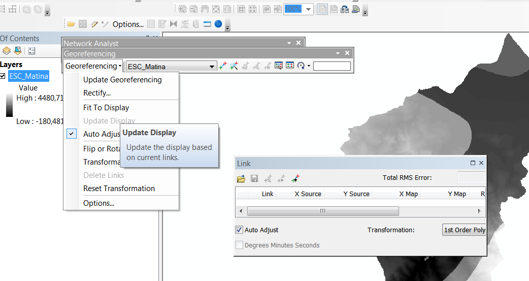
Hi
You try to use Fit to Display in the Georeferencing Options? I recommend use the viewer 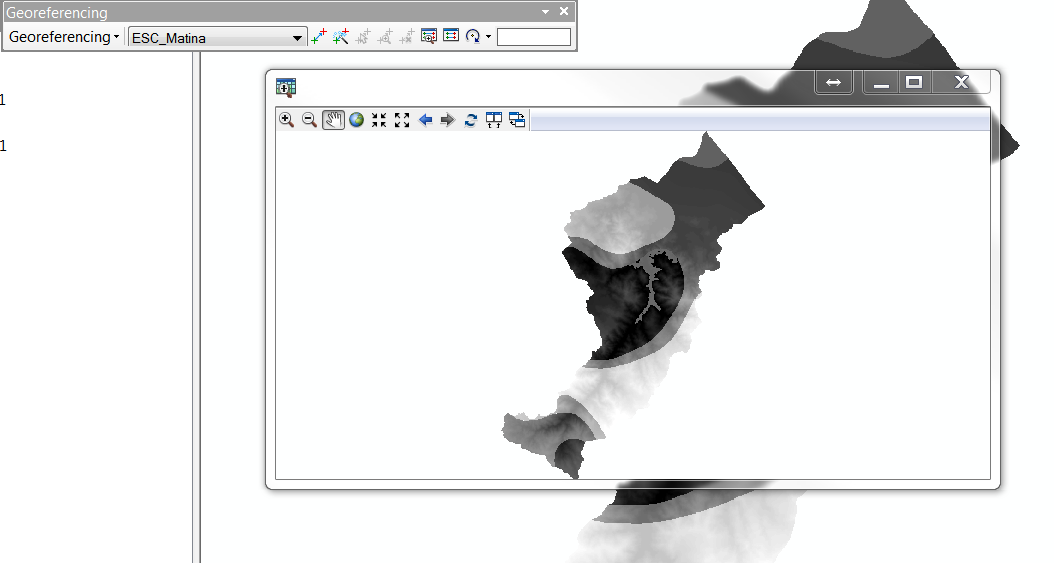
- Mark as New
- Bookmark
- Subscribe
- Mute
- Subscribe to RSS Feed
- Permalink
You need orthorectify first, if you not orthorectify the images, your images have distortions and this not represents the reality.
For this you can use a Photogrammetry Suite Software.
- Mark as New
- Bookmark
- Subscribe
- Mute
- Subscribe to RSS Feed
- Permalink
Unfortunately I can't orthorectify. The imagery I have is from the drone we are working with and it only takes photos, it does not provide geographic information. As a result, the raster dataset does not have RPCs and I am unable to orthorectify. Georeferencing is my only option. Any suggestions?
- Mark as New
- Bookmark
- Subscribe
- Mute
- Subscribe to RSS Feed
- Permalink
Ian
I can talk you through a few of your options if you can tell me more about your data and what you hope to achieve.
- If you go to one of your drone images copied onto your computer and view its properties, look to see if there is Latitude and Longitude information. Most drone images will provide this, listing the location of the airplane when the photo was taken. This is known as the EXIF header information, and it will be helpful for placing your images onto a map. The next 2 sections may be helpful but note this does not georeference the images - it simply creates a POINT on the map for where each photo was taken (and it's only approximate)
- If you have ArcGIS 10.3.1, the "Geotagged Photos To Points" tool can bring in the images using that EXIF metadata
- I don't recall when this tool was added to ArcGIS; if you have an older version this post has versions to add into 10.0 and 10.1 http://www.arcgis.com/home/item.html?id=1cfeb0e0b8b946239ad10552eec5a21e
- Presuming you want to actually georeference each image, your best options are:
- the "onebutton" software from Icaros - Geospatial Solutions
- Pix4D Mapper from https://pix4d.com/
- a new tool coming from Esri later this fall for georeferencing drone imagery (check back with me in a few months).
- For these tools to work, you may need to change how you fly and how many images you capture. These processes require a LOT of overlap (e.g. parallel flightlines overlapping 80%, and images along the flightline overlapping 80-90%), so if you want to use this method, I can advise further.
- The output of these tools can be either a) an orthorectified mosaic image along with a custom digital surface model, and/or b) accurate orientation data for each image, allowing you to read the images directly into ArcGIS using the Frame Camera Raster Type (requires 10.3.1)
- Note none of these tools are free, so if you can't afford to buy software, see my item 3.
- For a small number of images, or if you cannot buy appropriate software, your only choice may be manual georeferencing as referenced above by Darren Wiens https://community.esri.com/external-link.jspa?url=http://desktop.arcgis.com/en/desktop/latest/manage...
- this will be a slow process, and you'll have to put in manual control points for every image, but it can yield pretty good results. Use the ArcGIS Online imagery base map as a reference image, unless you have a better reference.
- Note you should NOT use the "Rectify" option in the manual georef tools, but just use "UPDATE Georeferencing" which will create an external file (*.aux.xml) to georeference the raw image. Then you should learn about the mosaic dataset, and read the images with *.aux.xml files to build a mosaic of your project area.
- One other option is to generate the mosaic dataset as mentioned above in 3.2. but only use a few control points on every image so the georeferencing is only approximate, then use our Block Adjustment tools (presuming you have 10.3.1) which will AUTOMATICALLY generate control points and give you a better result.
I hope that is helpful - note we just did several workshops at the Esri User Conference that may be helpful to you - we can send a PDF document re: Block Adjustment tools and another re: georeferencing drone imagery using the Frame Camera Raster Type
Cody B
- Mark as New
- Bookmark
- Subscribe
- Mute
- Subscribe to RSS Feed
- Permalink
Hi Cody...
Do you have update on this post of yours. You have mentioned -
"a new tool coming from Esri later this fall for georeferencing drone imagery (check back with me in a few months)"
Thanks --Prashant