Turn on suggestions
Auto-suggest helps you quickly narrow down your search results by suggesting possible matches as you type.
Cancel
- Home
- :
- All Communities
- :
- Products
- :
- 3D
- :
- 3D Mapping Questions
- :
- Re: Can you insert Legend and Scale Bar while work...
Options
- Subscribe to RSS Feed
- Mark Topic as New
- Mark Topic as Read
- Float this Topic for Current User
- Bookmark
- Subscribe
- Mute
- Printer Friendly Page
Can you insert Legend and Scale Bar while working in ArcScene?
Subscribe
11337
3
11-24-2011 09:49 AM
11-24-2011
09:49 AM
- Mark as New
- Bookmark
- Subscribe
- Mute
- Subscribe to RSS Feed
- Permalink
- Report Inappropriate Content
3 Replies
11-25-2011
01:19 PM
- Mark as New
- Bookmark
- Subscribe
- Mute
- Subscribe to RSS Feed
- Permalink
- Report Inappropriate Content
You can't insert a scale bar or legend, ArcScene has no layout capabilities.
See http://mappingcenter.esri.com/index.cfm?fa=ask.answers&q=766
If you want this feature, vote for it at http://ideas.arcgis.com/ideaView?id=087300000008DDOAA2
Exporting as a graphic (such as JPEG) usually works fine.
See http://mappingcenter.esri.com/index.cfm?fa=ask.answers&q=766
If you want this feature, vote for it at http://ideas.arcgis.com/ideaView?id=087300000008DDOAA2
Exporting as a graphic (such as JPEG) usually works fine.
11-25-2011
07:52 PM
- Mark as New
- Bookmark
- Subscribe
- Mute
- Subscribe to RSS Feed
- Permalink
- Report Inappropriate Content
Given that ArcScene uses a vanishing point and horizon if the view is anything but looking straight down, wouldn't a scalebar be misleading? Even a straight down view has scale distortions if varying elevations exist (and why would anyone use ArcScene if you have no elevation changes and do not intend to use a view other than looking straight down). Scale measurements taken as one approaches the vanishing point and horizon would never match the scalebar. Esri can't change the laws of physics relative to the effects of 3D viewing distortions on scale without compromising the 3D view. Any placement of a scalebar from ArcMap on an ArcScene view is simply misleading yourself and your audience except in the simplest of cases around a relatively limited focal point.
A legend is something that should be supported in ArcScene, but the workaround is all there is for now.
A legend is something that should be supported in ArcScene, but the workaround is all there is for now.
03-06-2016
05:52 AM
- Mark as New
- Bookmark
- Subscribe
- Mute
- Subscribe to RSS Feed
- Permalink
- Report Inappropriate Content
Well it is actually possible to add a scale bar to ArcScene as well as applying it to elevation and so on with a little workaround.
Just export any georeferenced feature from Arcmap as a High-resolution Picture with a huge scale bar wherever u want it. (you could also add multiple ones for X Y directions)
This can be imported in ArcScene. As it is georeferenced, it will work. Well this is far away from being scientifically accurate, however we are talking about visual enhancements...
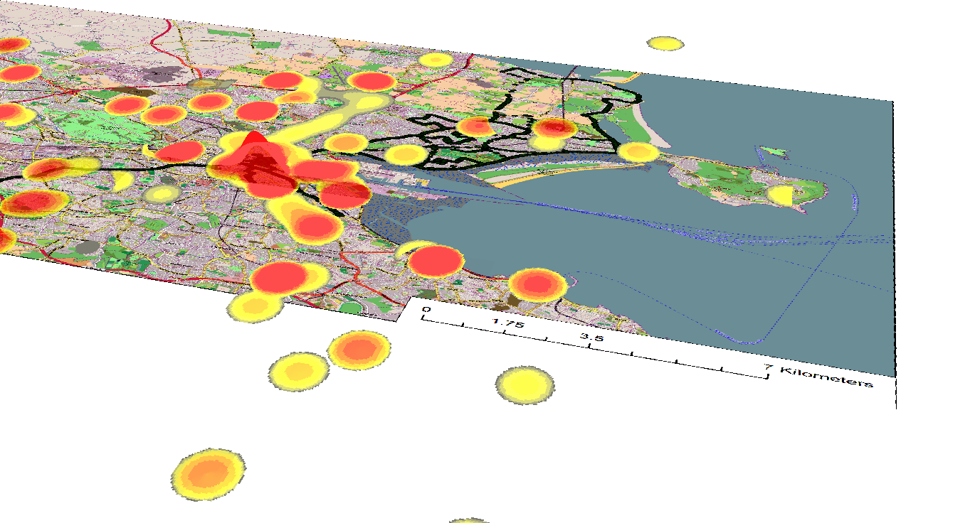
This picture is just for showing the result. If you wish, you could add a much wider scale bar to even have the right measurements in the very far.
The excact same procedure works very well with legends title or what ever. Reference it, import it.