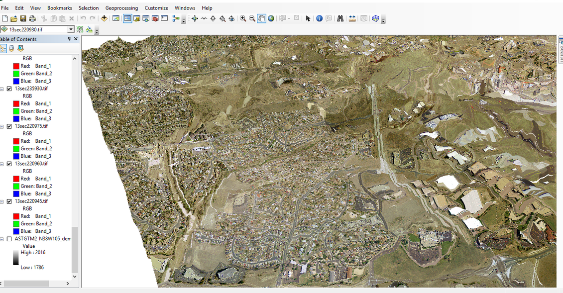
I am trying to create a 3D model in ArcScene from a DEM and aerial orthophoto (around 20 to 30 ones). All of the rasters are in the same projected system (so is the scene in arcscene) and I floated the DEM and the aerial photos on the DEM. I calculated the vertical exaggeration in the scene properties and I got 3D. But the 3D is wildly distorted, can anyone help me out as it looks quite psychedelic.