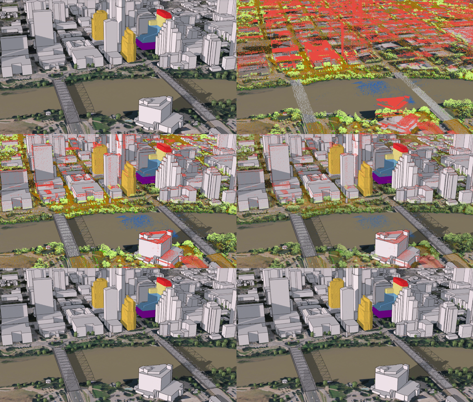
Today we released our new 3D basemaps solution. This solution includes a series of workflows that can be used by mapping technicians to create and maintain a 3D basemap for their organization, leveraging existing data such as lidar, building footprints and underground utility features. The output of the workflows is a collection of 3D layers which can be used to serve as a 3D basemap for desktop, mobile and web mapping applications.

Leveraging lidar to create a 3D basemap.
This new release is a major enhancement of the existing local government 3D basemaps solution which has been moved to mature support. New in the 3D basemaps solution is the ability to:
- create 3D bridges using classified lidar and procedural rules
- create 3D power lines using existing GIS data such as power pole locations
- create underground pipes from existing utility data
We also improved the task workflows and structured them around a layer based output. For more information, check out the "Getting to know 3D basemaps" storymap or visit the ArcGIS Solutions website.