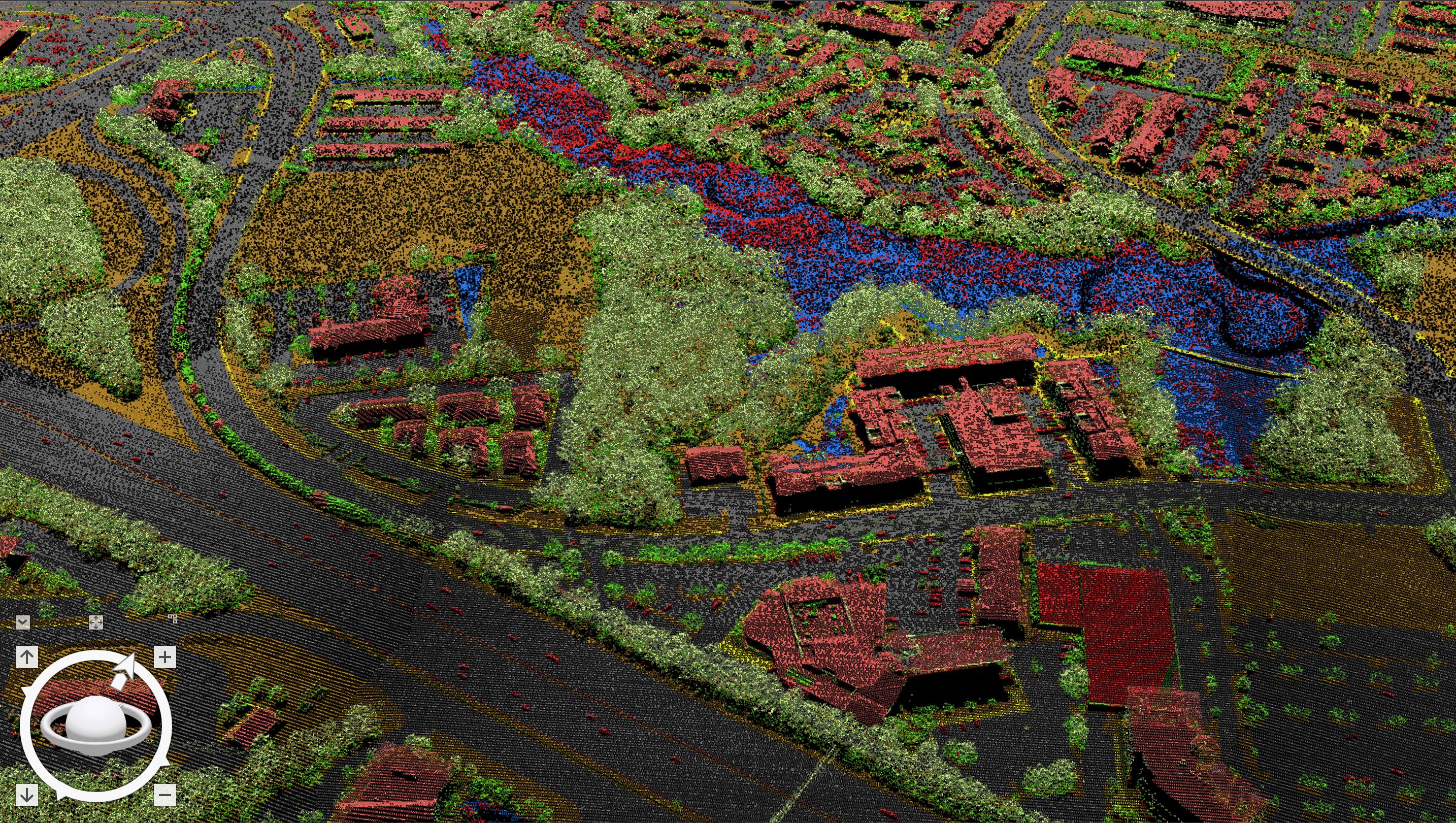
Due to popular demand the Leveraging LiDAR Template is finally here.
Whether you are working for a government agency, AEC company, or hobbyist collecting data via drone or plane this Task-Based workflow for ArcGIS Pro 2.4 goes step-by-step through.
- LiDAR Preparation for ArcGIS Pro
- LiDAR Classification, Colorization, Dissemination (Sharing Online or on ArcGIS Enterprise)
- LiDAR Surface and Elevation Raster Tile Generation
- LiDAR DEM Raster Tile Generation
- DEM elevation caching and publishing for ArcGIS Online & ArcGIS Enterprise
- Building Footprint Extraction
- Initial intro to tools leveraged in the Local Government 3D Scenes Solution.
- The Tiled Raster data and raster data generated in this process can be leveraged in the 3D Scene Solution here: solutions.arcgis.com/local-government/help/local-government-scenes/

Additional Credit to Arthur Crawford for developing steps within this process.
You can download the template here: https://esriis-my.sharepoint.com/:f:/g/personal/geof7015_esri_com/EpaUfp7SzpZAuc6lynMzCEcBqP-QOoRCQj...
Please provide comments below or contact me at [email protected] concerning issues/questions.
Cheers!
Geoff