Turn on suggestions
Auto-suggest helps you quickly narrow down your search results by suggesting possible matches as you type.
Cancel
- Home
- :
- All Communities
- :
- Products
- :
- Mapping and Charting Solutions
- :
- Mapping and Charting Questions
- :
- Re: Light grey canvas basemap without national bou...
Options
- Subscribe to RSS Feed
- Mark Topic as New
- Mark Topic as Read
- Float this Topic for Current User
- Bookmark
- Subscribe
- Mute
- Printer Friendly Page
Light grey canvas basemap without national boundaries
Subscribe
501
2
05-30-2019 03:17 PM
05-30-2019
03:17 PM
- Mark as New
- Bookmark
- Subscribe
- Mute
- Subscribe to RSS Feed
- Permalink
- Report Inappropriate Content
Hi all,
Sorry if this is in the wrong place for this. I've been looking online for something akin to Esri's light grey canvas base map but without the national boundary lines. My work concerns the pre-modern world, so those lines are not applicable. Is there a version out there without them, or a simple way to remove them?
2 Replies
05-30-2019
03:45 PM
- Mark as New
- Bookmark
- Subscribe
- Mute
- Subscribe to RSS Feed
- Permalink
- Report Inappropriate Content
I haven't done this personally but I think using a customized Vector Basemap might be what you're after. Here's a link to the basics.
06-03-2019
07:51 PM
- Mark as New
- Bookmark
- Subscribe
- Mute
- Subscribe to RSS Feed
- Permalink
- Report Inappropriate Content
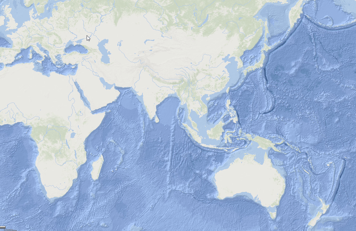
You could add the Oceans basemap and then remove the reference layer you get a result like this
Alternatively you could create and publish a vector tile package and upload to ArcGIS Online. -