Each month we'll feature at least one GeoMentor volunteer, learning more about them and the wonderful and enthusiastic talent available in our GeoMentor community to assist K-12 schools with GIS and geography applications for their classrooms. Read about our currently featured member of the community below, or check out previously featured GeoMentors by using the navigation links on the right. If you are interested in being featured, go here for more information. We are excited to learn more about our GeoMentor community members!
If you aren't a GeoMentor yet, we'd love to have you participate!
October 2015 GeoMentor Spotlight
Chuck Powell - Senior GIS Specialist/Cartographer, WestLand Resources
What was your favorite class in K-12?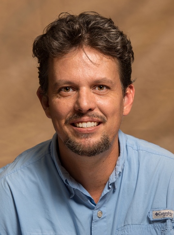
I always loved history because you are learning the story beyond the facts. I had great middle school and high school history teachers (Mr. Hayes and Mr. Summers) who always went beyond the textbook and took us for a ride.
How did you first learn about and/or use GIS?
I was offered a fulltime job working with a Right of Way company and they asked if I was familiar with ArcView. I had never heard of it but thinking how different could it be from AutoCAD ( which I used daily). So I answered “not a problem.” The first couple weeks were challenging as I had to teach myself how to make simple maps. More importantly, I also learned how not to make a map. As my knowledge increased, I gradually shifted from strictly cartography to GIS analysis and more complicated and fun tasks.
Name one thing you love about GIS and/or geography (I know, just one!):
How a map can take a complex problem or solution and display information in such a way that the audience can grasp a concept easily. More subtly, how a map can tell a better story than words and how GIS can elegantly illustrate the blurring of technology and art.
 Why did you want to volunteer as a GeoMentor?
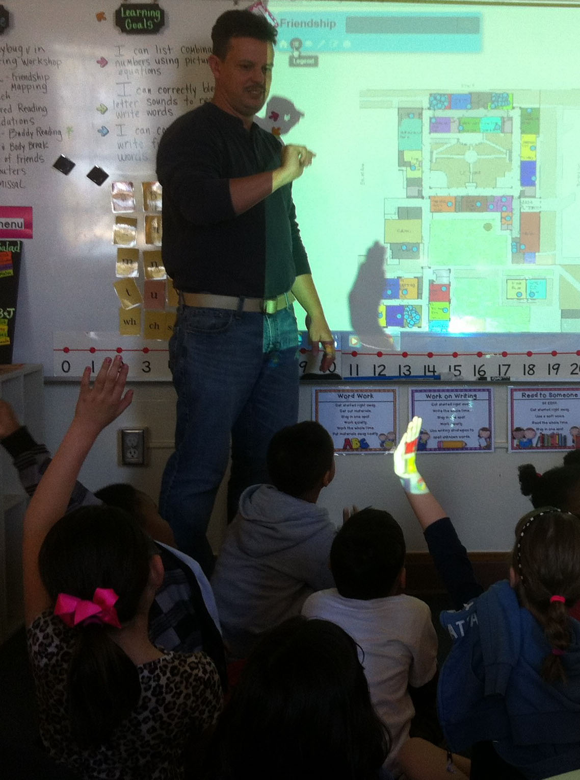
I was walking in my kid’s school and they hadhuge map of the playground and the equipment usage in the hallway. I realized the kids and teachers were using GIS and maybe I could help. I walked into the classroom, introduced myself to the teacher, and asked if I could help in anyway. Volunteering at the school is usually my best day of the week. This is the mission statement for my child’s school, the Borton Magnet School:
"A school where students learn to ask big questions and engage in authentic, real world learning to become change makers, creators of new knowledge and stewards of the earth."
Perfect for GIS
What kind of GeoMentor volunteer opportunity and experience are you looking for?
I will continue to work with the K-5 kids but am looking for another GeoMentor partnership(s) to continue the track thru middle school and high school. That’s my biggest goal is to have GeoMentor partnerships that work at multiple schools.
If someone asked you why they should learn about GIS and/or geography, how would you respond in one sentence?
You can look at a problem from many directions and see paths, perhaps multiples paths to multiple solutions.
Email: cpowell@westlandresources.com
Websites: http://bortongis.maps.arcgis.com/home/index.html#
http://westlandresources.com/services/gis-cartography/