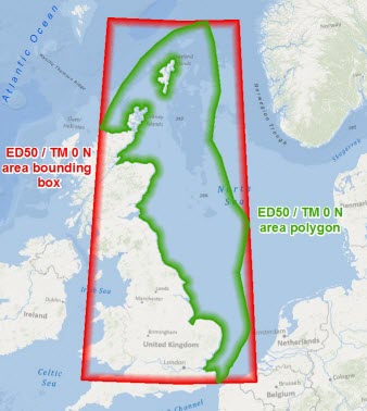
The International Association of Oil and Gas Producers (OGP) released EPSG Area Polygons in 2012 as a freely available spatial dataset that accurately defines the applicable extent of the CRSs and transformations in the EPSG Geodetic Parameter Dataset (EPSG Dataset).
Check out the @Exprodat Blog on using OGP's EPSG Area Polygons
Download the OGP's EPSG Area Polygons as Searchable Layers
http://www.arcgis.com/home/item.html?id=2ff6d44a19854280aec1d56368e12605