Hello,
I'm looking to create an interpolated surface from 5 weather stations spread throughout southern Ontario. The stations are roughly equidistant from each other, and have temp & precip data for the exact same times. Before, I typically used the Kriging tool inside 3D analyst. This time when I try it, it simply creates a single-colored square between the outer stations.
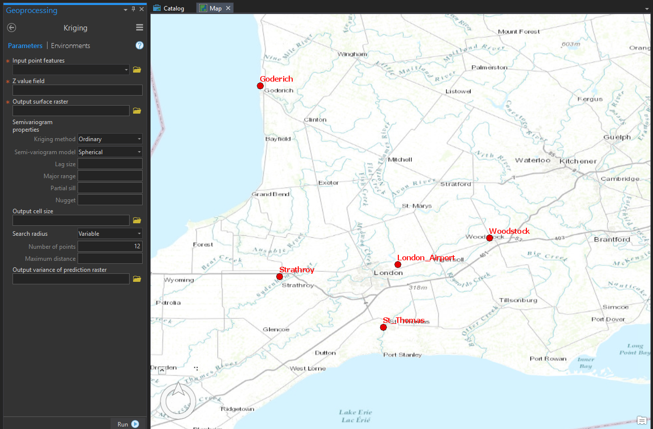
This is my working environment in ArcPro, with the 5 stations:
What would I put in the Parameters on the left? Is there perhaps another, better interpolation method in ArcPro?


