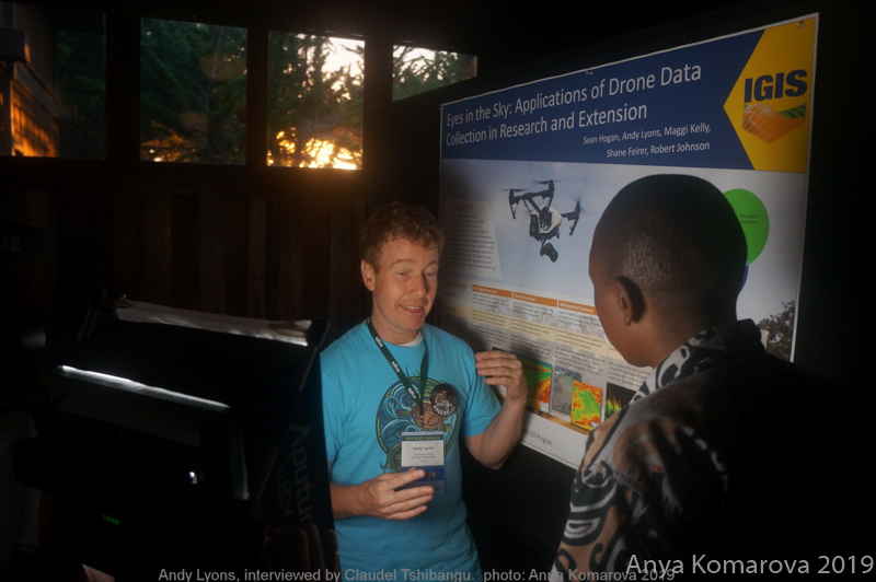
2019 Map Gallery Presentation: Andy Lyons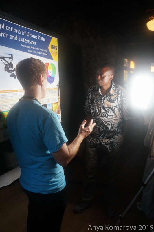
Univ Calif Ag & Nat Resources, Informatics and GIS Program
Interviewed by Team Catilan x2019TalkMap xDrone xAgriculture xEducation
Map/T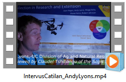 alk "Eyes in the Sky: Applications of Drone Data Collection in Research and Extension"
Sean Hogan, Andy Lyons, Maggi Kelly, Shane Feirer, Robert Johnson, 2019
Direct link to Map PDF
Andy's IGIS Blog
IGIS Recognized for Drone Data Management Tools at Geography Conference