Gaston Buh Wung, GIS Coordinator, WWF Cameroon Country Program Office
x2019Talk xRemote xMangrove xForest xClimate Change
2019 Map Gallery Presentation & Interview
Paper Presentation -pdf
Video -mp4 HD

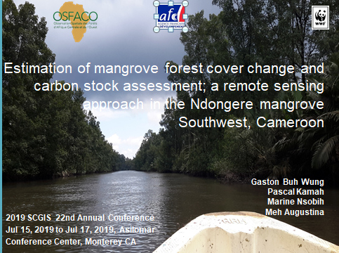
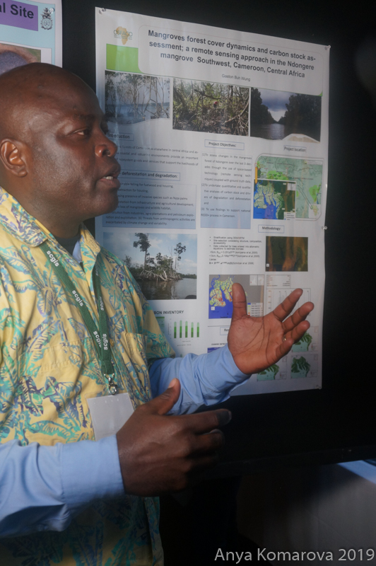
ABSTRACT: "Estimation of Mangrove Forest Cover Change and Carbon Stock Assessment; a Remote Sensing Approach in the Ndongere Mangrove Forest, Southwest Cameroon " Gaston Buh, WWF Cameroon
This research used satellite remote sensing techniques of SPOT and Landsat images of 1990-2000, 2000-2010, and 2010-2018 in the study of mangrove forest dynamics of Ndongere National Park’s mangroves. Questionnaires administered to authorities and community members enabled an understanding of the causes of the changes observed. An intensive inventory of biomass conducted led to the estimation of carbon stock using 04 carbon pools and application of canopy height. Results indicate that between 1990 and 2000, the mangrove zone experienced an approximate total change in its mangroves cover by losing 33.68ha of its forest, with an annual percentage change of ~0.03%. During the period 2000 and 2010, the total change in mangroves cover increased to -205.79ha, with an annual percentage change of 0.21%. Within a timespan of 8 years (2010-2018), the total change doubled that of the last decade (2000-2010). A total mangrove forest change of ~-522.60ha with an annual change of ~-65.33ha was estimated. This provided a total percentage change of ~5.23% and annual percentage change of ~0.65%. Results from questionnaires administered shows that the changes result from the high dependence of the local population on the natural resources including fishing and wood harvesting. The total ecosystem carbon stock ranges from 730.24 Mg/ha to 1085.64 Mg/ha and is the sum of the different pools of carbon. These values are close to the 1520, 22Mg/ ha-1 recorded for Cameroon and Central Africa generally (MINEPDED-RCM, 2016 and UNEP, 2014) and within the range of other studies in the tropics. The Ndongere mangroves are still relatively intact, though threatened by increasing socio-economics, political, and demographic factors which are the leading drivers. The pressure results from extractives, land use conversion, consumption pattern of the population, limited alternative livelihood, threats to the ecosystem from petroleum exploration, and exploitation. This pressure has led to increasing mangrove forest fragmentation through deforestation and degradation. With impact on contribution towards increasing global climate change, increasing limited accessibility to natural resources. Immediate impact on wildlife due to wildlife habitat disappearance and increasing illegal wildlife harvesting due to limited protection efforts. Current response efforts by the government of Cameroon through the Ministry of Environment, Nature Protection and Sustainable Development and Partners will need to be stepped-up to combat current threats. There is also a need to develop and validate more research so as to establish more data as well as site specific variables related to mangrove forest cover change, drivers of deforestation, use of high resolution images, tree species specific densities for the area, and allometric equations.