 2019 Map Gallery Presentation: Amanda Preece & Rahil Ryder
Interviewed by Team Mapitas x2019TalkMap xBird xHabitat loss xSea Level Rise xTracking
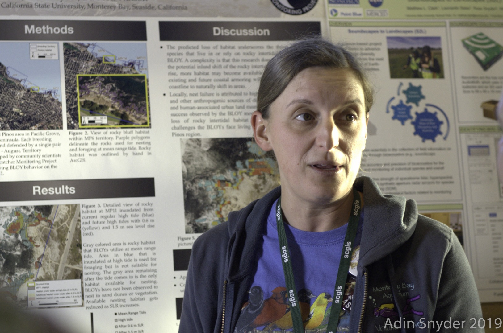
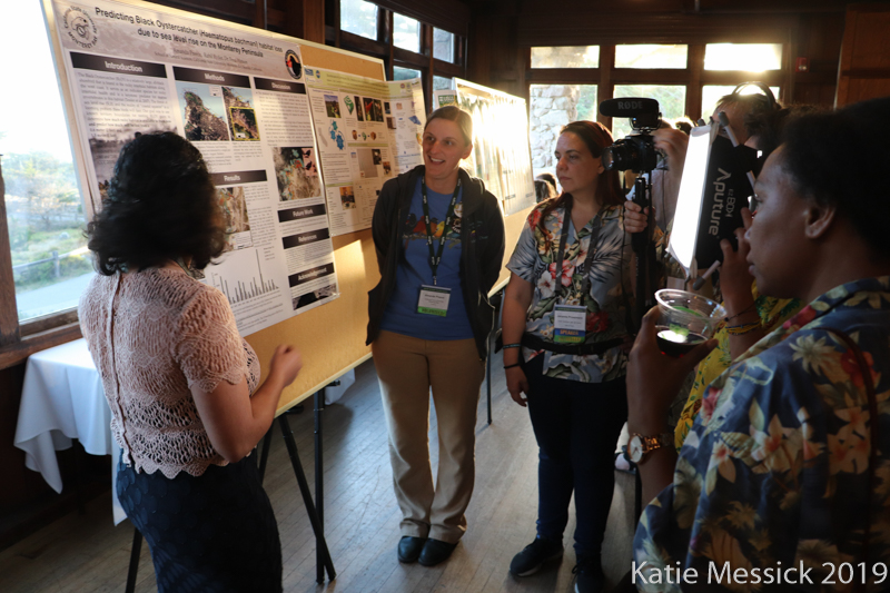
Map Title "Predicting Black Oystercatcher (Haematopus bachmani) habitat loss due to sea level rise o..." by Amanda Preece, Rahil Ryder, Dr. Fred Watson, School of Natural Sciences, Calif State University Monterey Bay, Seaside, California
Rahil Ryder (below)
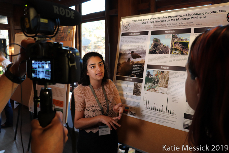
Amanda Preece (below) has been a member of the SCGIS Camera/News Team from 2018 to Present.