- Home
- :
- All Communities
- :
- User Groups
- :
- Conservation GIS
- :
- Documents
- :
- Nicolás Alejandro Lois, Argentina
- Subscribe to RSS Feed
- Mark as New
- Mark as Read
- Bookmark
- Subscribe
- Printer Friendly Page
Nicolás Alejandro Lois, Argentina
Nicolás Alejandro Lois, Argentina
Nicolás “Nico” Alejandro Lois, University of Buenos Aires, Argentina
Also: Proyecto de Conservación y Rescate de Aves Rapaces (PCRAR) (Raptor Conservation and Rescue Program).
xTTT2016-2019 x2019TTT x2019TalkInterview x2018TTT x2016TTT x2012Scholar xBird xEndangered xTracking xWildlife xArgentina xLatin America
2019 Profile: Nico is a participant in the first-ever SCGIS TTT Summit Meeting.
Work: "Jardín Zoológico de la Ciudad de Buenos Aires (JZCBA) (Buenos Aires Zoo)."
Role: Volunteer. I am responsible for the downloading, organization and processing of the satellite telemetry data that is provided by ARGOS. I am in charge of the GIS that I have designed for the processing of this data. I am also managing the development of an updated distribution map for the Crowned Solitary Eagle in Argentina.
(Photo Right from 2102 Scholar Program, photo by SCGIS 2012 Scholar Bao)
2019 Map Gallery Interview: with Carlitos DeAngelo
2016 TTT Certification: Nico was awarded his TTT Certification in 2014
2012 SCGIS Scholar: Nico attended the 2012 SCGIS Scholars Program
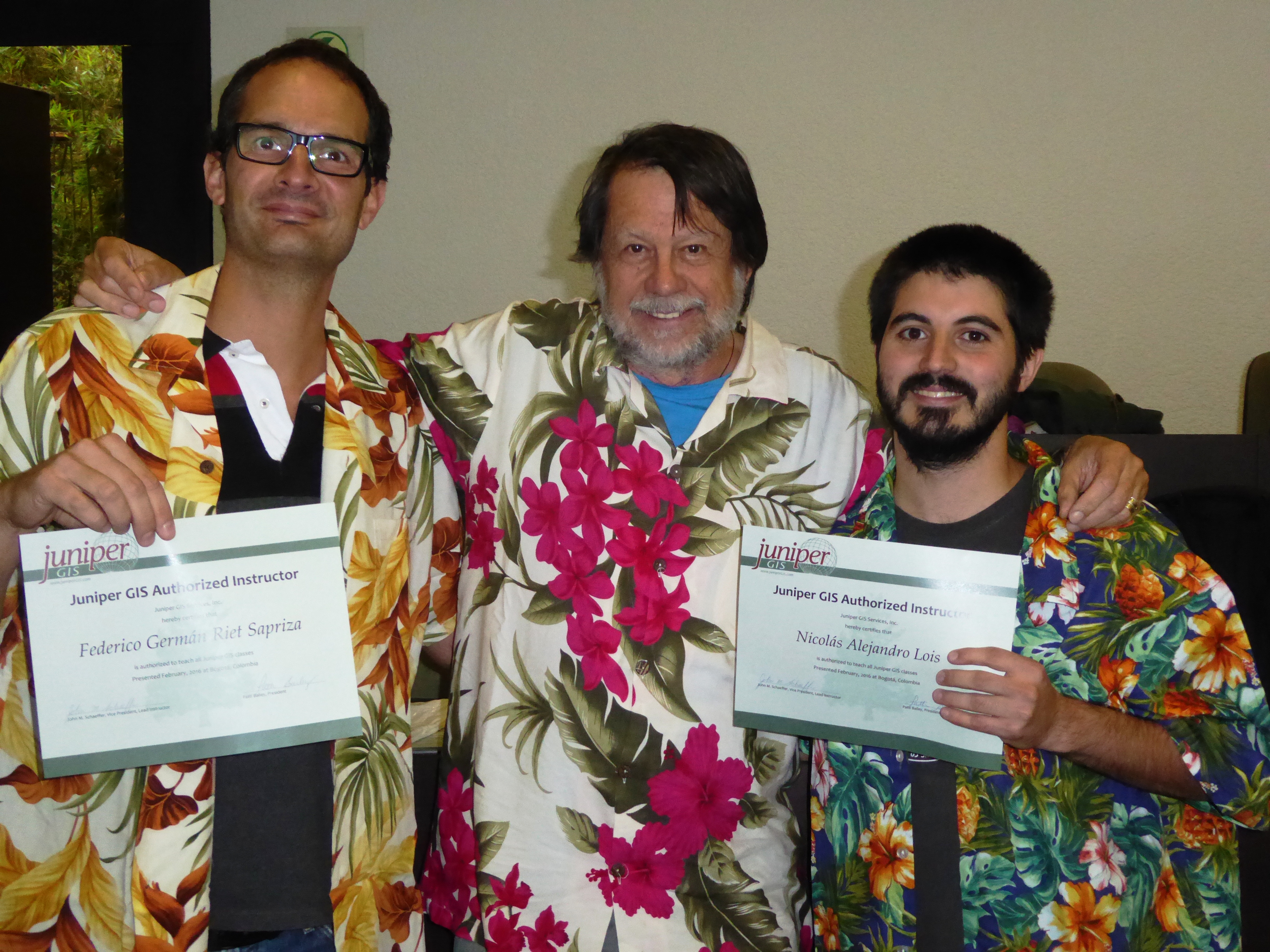
2016 TTT Certification: Nico received his TTT Certification in Jan 2016 at an SCGIS/Juniper GIS Training workshop in Bogota, Colombia. ArcGIS for Environmental Analysis and Advanced Topics for ArcGIS were taught to 41 course attendees at the Universidad de los Andes, thanks to organizational support from Federico and funding from Esri. (Photo Below, Federico (R) and Nicolas "Nico" Alejandro Lois show off their new Scgis TTT Trainer Certifications with Juniper GIS president John Schaeffer.)
2012 SCGIS Scholar Profile:
I am beginning my last year to become a Licenciado (Grade) in Biology with an ecological orientation at Buenos Aires University, ranked among the best in the country. I am 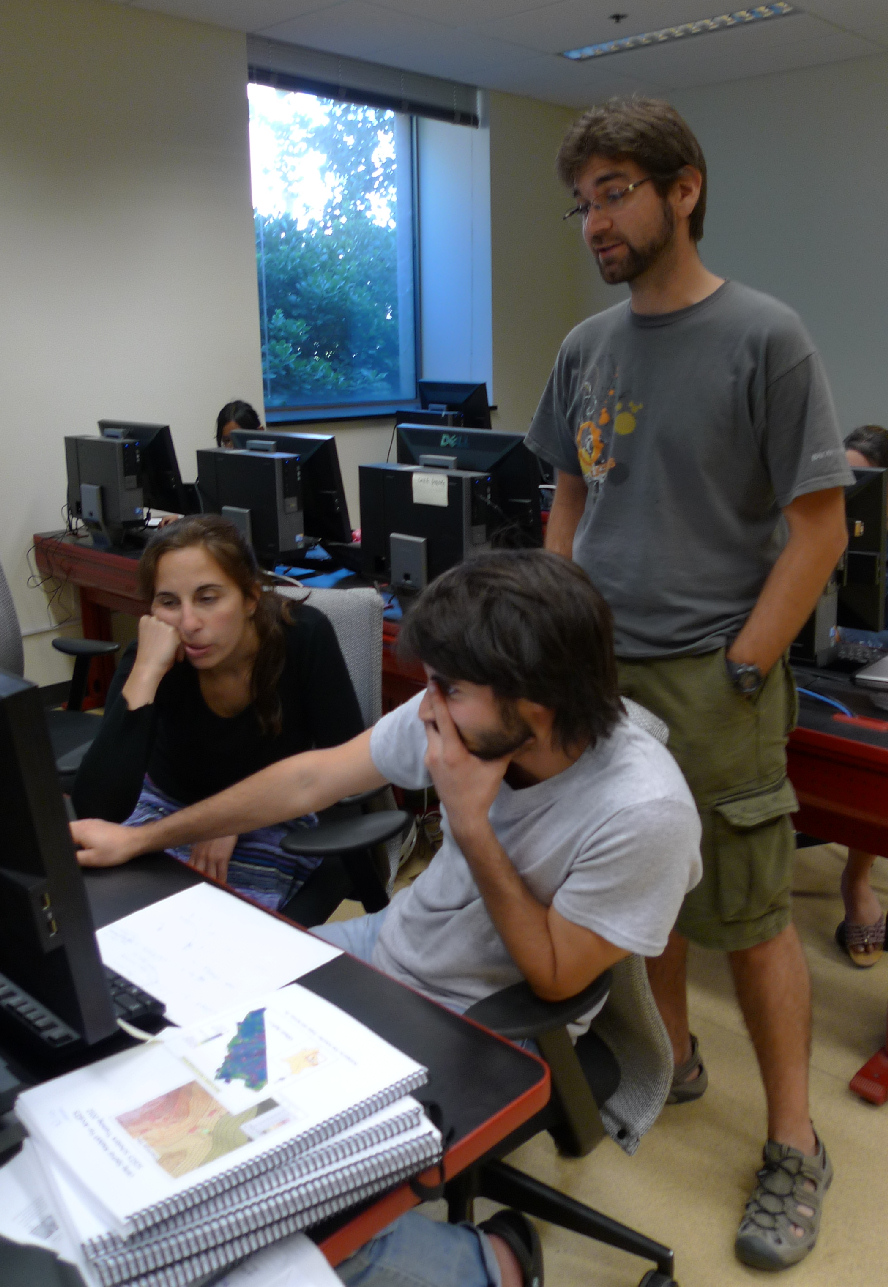 beginning the last of 6 intensive years at university. I have always been attracted by nature and its complexity. As soon as I have finished my secondary education, my huge curiosity dragged me to the Buenos Aires Zoo’s gate at the age of 18. Since then, I have been a volunteer there, dedicating myself to the conservation of the Crowned Solitary Eagle, one of the most unknown and endangered species in the Neotropical Region. Then, between 2009 and 2010, I took part in the committee that designed and wrote the “Action Plan for the Conservation of the Crowned Solitary Eagle in Argentina” (APCCSE). My interest for GIS topics has been increasing dramatically for the past three years. Analyzing the tagged eagle’s movements, observing through satellite images the roosting or foraging spots she selects and then, visiting those places on the field, gives me the strength to keep on working.
I have been in charge of downloading, processing and analyzing the information provided by a satellite-tagged individual of this endangered raptor for the last three years. The results that came out from this analysis have been published in national and international congresses. I have also been to an international satellite telemetry workshop organized by Matthew Perry (USGS) and held at Puerto Iguazu, Argentina. I would like to improve my skills during this month of intensive SCGIS training and exchange, so as to apply all this knowledge in the conservation of the Crowned Solitary Eagle. I will also design the analysis for the evaluation of the distribution of the Crowned Solitary Eagle and the construction of an updated and easy-to-update distribution map for the species that will be available online, hopefully, this coming September. This last activity has the backing of the APCCSE, Aves Argentinas (Bird Life International) and the Dirección de Fauna Silvestre (governmental institution for Wildlife management).
(Photo Right: Nico receives training support from one of the first TTT Trainers, Carlitos DeAngelo, at the 2012 Scholar Program)
Please describe the history of your personal work in conservation and GIS:
I am studying to get my degree in Biology with an ecological orientation at Buenos Aires University. I have always been attracted by nature and its complexity. As soon as I have finished my secondary education, my huge curiosity dragged me to the Buenos Aires Zoo’s gate at the age of 18. Since then, I have been a volunteer there.
I started working in the PCRAR in 2007. In this project, I have rehabilitated, released and tracked many species of raptors, including falcons, buzzards, eagles and owls. The project’s main aims are education, conservation and the rehabilitation and release of raptors that arrive at the Buenos Aires Zoo. It mainly handles non-endangered species; however, for the last 6 years, it has dedicated a lot of effort in the research and conservation of the endangered Crowned Solitary Eagle (Harpyhaliaetus coronatus). In fact, between 2009 and 2010, I formed the committee that designed and wrote the “Action Plan for the Conservation of the Crowned Solitary Eagle in Argentina” (APCCSE) (http://www.avesargentinas.org.ar/12/conservacion/Plan_A_A_C.pdf)
I have also done a lot of field work in many different conservation and research projects outside the Buenos Aires Zoo. The most important were, first, the Andean Condor (Vultur gryphus) Research Project in Bariloche, Argentina, where individuals of this species were captured and tagged with satellite transmitters during 2010, and are still being tracked nowadays. This project is coordinated by Dr. Sergio Lambertucci (Universidad del Comahue, Bariloche, Argentina) and Dr. Fernando Hiraldo (Estación Biológica Doñana, Seville, Spain). And also, I have taken part of the Burrowing Owl (S. cunicularia) Research Project during two consecutive reproductive seasons (2010 and 2011) in Bahía Blanca. This project is handled by Dr. Martina Carrete and Dr. José Luis Tella from the Estación Biológica Doñana (Seville, Spain).
I started working with GIS in 2009 thanks to the abundant data provided by the satellite transmitter with which we tagged an adult Crowned Solitary Eagle that October. Since then, I began my formal training in two correlative university courses. Then, I started developing a GIS for the processing of the satellite data which I am still improving today. I have successfully designed many maps with the results from the analysis of the satellite data for fellow researchers or conservationists that work for the conservation of the Crowned Solitary Eagle. In spite of the fact that, at that time, there was only one adult of the species tagged with a satellite transmitter, a lot of information has been processed and analyzed. And last but not least, almost all the information gathered throughout these years of intensive work has been published in national and international scientific meetings.
Since 2011, after the first revision of the APCCSE and based on my previous experience with GIS, I have been appointed with the task of designing and creating an updated distribution map for H. coronatus. This task has been considered as one of the first priorities for the conservation of the species.
Please describe how you work in your local conservation and GIS community:
As I have previously said, there are no formal GIS communities working together here in Buenos Aires. There are some researchers that complement their studies with GIS but they are not usually in contact with each other. However, an increasing number of researchers are using GIS on their every day studies, so there is a considerable potential for the formation of this kind of community.

Please describe how your work involves cooperation with any international groups:
Since 2011, after the Satellite Telemetry Workshop organized by Matthew Perry (USGS) in Puerto Iguazú, Argentina, I have kept in touch with Alicia Berlin and her team. They have taught me a lot in the way to organize raw data, knowledge that afterwards became really useful, especially when dealing with the whole set of data points. However, there is still a lot to exchange with this and other foreign groups.
As I previously mentioned (HISTORY), I have also been working with researchers of the Estación Biológica Doñana in Spain.
(Photo Right: Nico at his Solitary Eagle Conservation GIS Poster Presentation. photo by SCGIS 2012 Scholar Bao)
Please describe what is the most unique and the most challenging about the conservation/GIS work that you do:
I have been working for 5 years in the conservation of the Crowned Solitary Eagle, an endangered species in the Red List for Endangered Species of the IUCN. I am part of the Neotropical Group for the Conservation of the Crowned Solitary Eagle (NGCCSE). This group brings together all stakeholders in the conservation of the species.
Based on the latest meetings of the group, especially the last one in 2011, the study of the distribution of the species has been set as a major priority and I was designated to carry out this important task. This revised and updated distribution map will be supported by the full consensus of the leading researchers that work on the species, the NGCCSE, Aves Argentinas (Bird Life International) and the Dirección de Fauna Silvestre (governmental institution for Wildlife management).
Also, this interactive and dynamic distribution map is to be online and available for everybody on September this year. The idea is to update it as much as possible, at least once a year, every time the group meets for its annual revision of goals and objectives.

2012 SCGIS Paper:
TITLE: The Crowned Solitary Eagle in Argentina: Evaluation of its current distribution map
ABSTRACT: “The crowned solitary eagle (Harpyhaliaetus coronatus) is one of the most threatened and unknown species in the Neotropical region. Little is known on its general biology. In recent years, a series of workshops has been held bringing together all the experts working with the species and they have agreed on some conservation and research priorities.
The real distribution of the species is hardly known. There are many problems with the current distribution maps that are being used as foundation for all the studies conducted nowadays. In La Pampa Province, Argentina, where most of the research is being carried out, the IUCN distribution map for the species does not take into account many areas with confirmed reproductive success during the past few years. Knowing the distribution of an endangered species is a key matter for its accurate management. And also, this eagle may be used as an umbrella for the protection of the environment in which they live.
All the confirmed records for the species will be collected and organized. This data will be analyzed and then plotted into an updated distribution map for the species that will help fellow researchers in their investigations. This map will be published in the Aves Argentinas (Bird Life International) web page. This organization will provide the support for the map to be available online.”
-
 Anonymous User