I have a line feature class road dataset that includes beginning and ending miles posts. Some of the roads have beginning mileposts that don't start at zero, but start at something else like 1.52.
I need to create a milepost point layer, that I can publish in ArcGIS online in web app builder, that is generated from the road bmp and emp data in the road feature class.
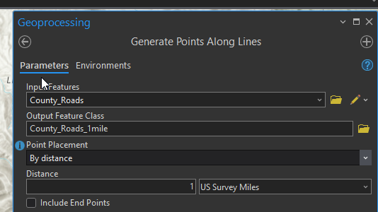
I tried using the Generate Points Along Lines tool, but this doesn't seem to account for the lines that start with a BMP value that is greater than zero. It also doesn't label the points and there are over 2,000 of them so it would be time consuming to manually label them.
screenshot of tool:
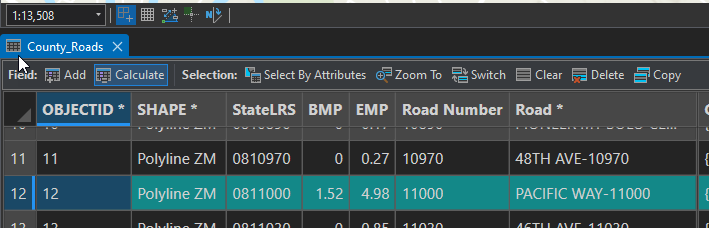
Here is an example of a road that begins at milepost 1.52 instead of zero.
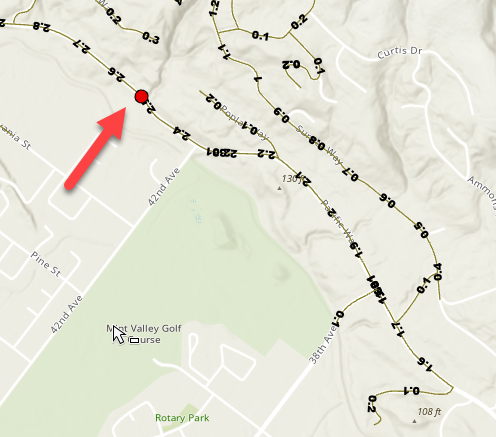
You can see that the 1st milepost is placed at the location of 2.52 instead of 1:
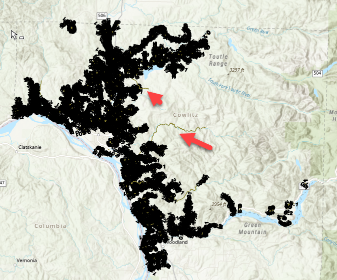
Next I followed these instructions to draw hatch symbols along lines and it seems to works really well in Arc Pro, (except it didn't label two of my roads).
Is there a way to export the symbol marker layer as a feature class and have it keep the points and have it add the mile number in the attribute table?
Is there a better way to go about doing this?
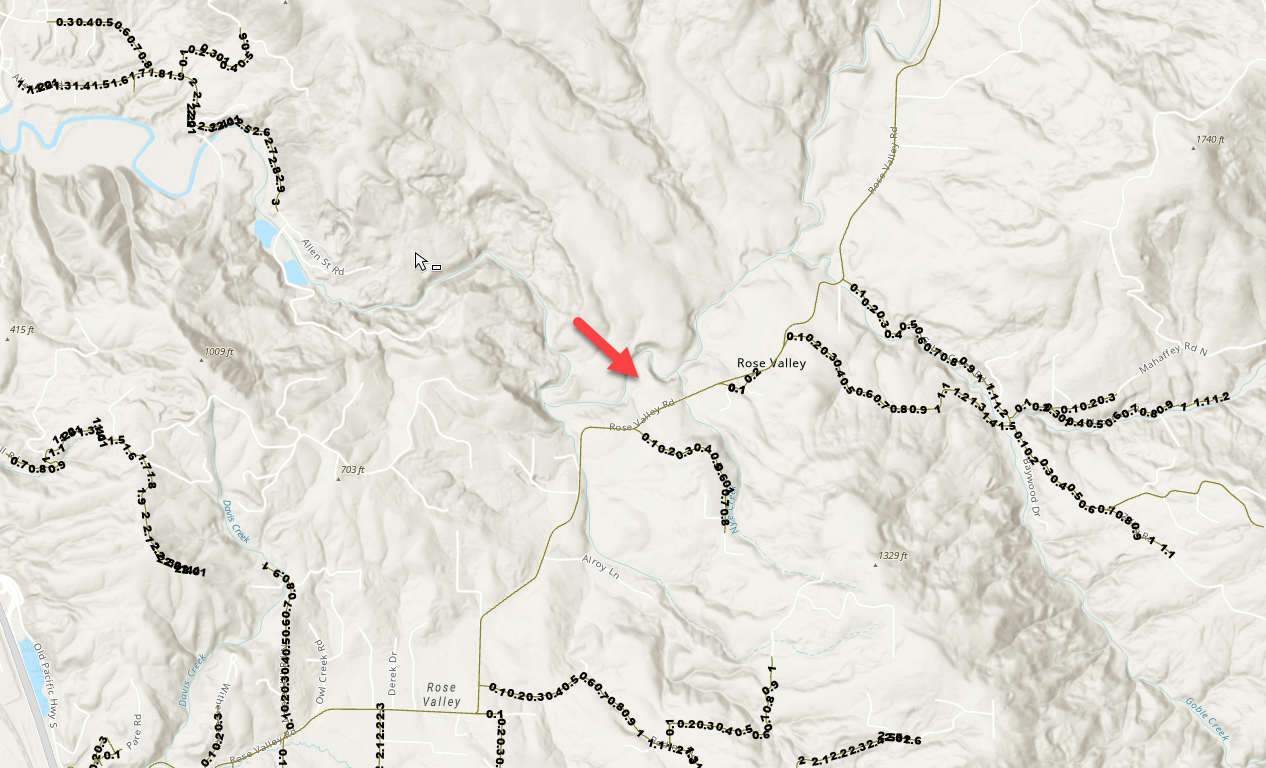
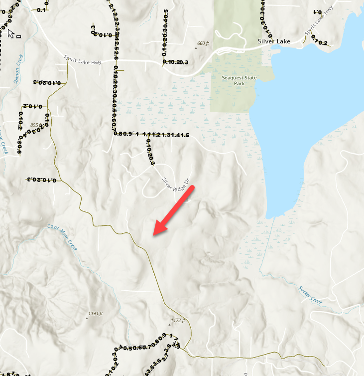
Example of the two roads where the mile marker symbology didn't load:
Thank you!








