- Home
- :
- All Communities
- :
- Developers
- :
- JavaScript Maps SDK
- :
- JavaScript Maps SDK Blog
- :
- ArcGIS API for JavaScript 4.15 and 3.32
ArcGIS API for JavaScript 4.15 and 3.32
- Subscribe to RSS Feed
- Mark as New
- Mark as Read
- Bookmark
- Subscribe
- Printer Friendly Page
- Report Inappropriate Content
Today, we are pleased to release versions 4.15 and 3.32 of the ArcGIS API for JavaScript. Here are some of the 4.15 highlights (please refer to the 3.32 link at the end for 3.x updates).
The stats
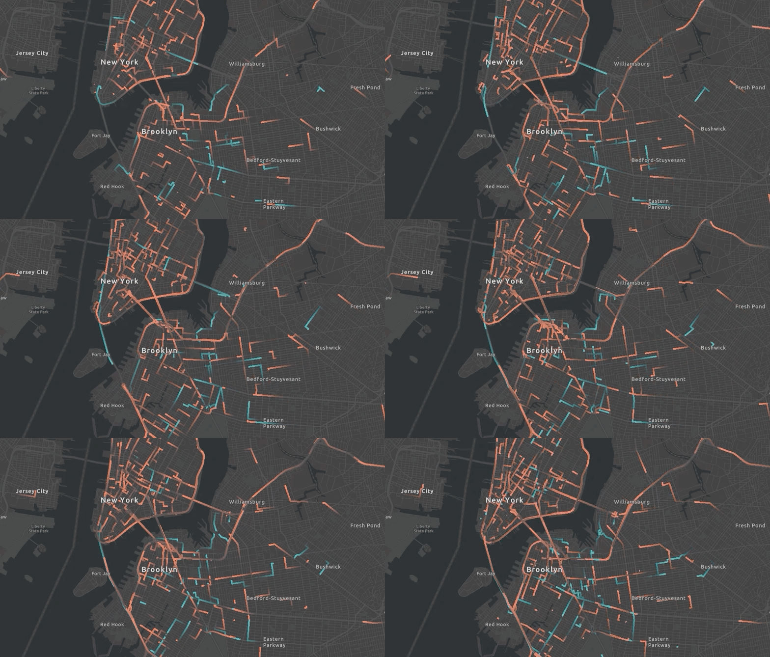
We fixed 50 bugs, added 17 new classes, created 8 new samples, and 99% of the codebase in now written in TypeScript. We also play nicely with deck.gl:
Edit Features in 3D
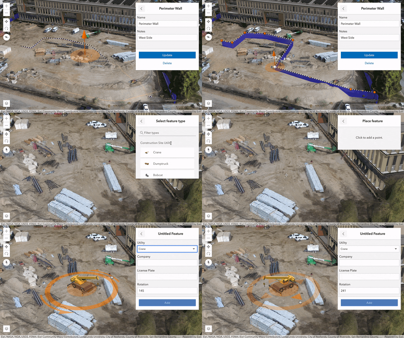
Make sweet edits and updates to FeatureLayers in 3D SceneViews with your favorite 2D editing widgets: Editor, FeatureForm, FeatureTemplates, and Sketch. When you scale or rotate 3D symbols with the interactive handles of the 3D point transform tool, the feature attributes are automatically updated through VisualVariable configurations. Check out the new Edit features in 3D with the Editor widget sample for a live example.
https://developers.arcgis.com/javascript/latest/guide/release-notes/#featurelayer-editing-in-3d
Modernize. Adapt. Overcome.
The API returns native promises (instead of Dojo promises) by default. We plan to completely remove Dojo promises at 4.16. This change might break your app, or it might not. You can opt-out of this change with a flag, but we’ll remove this opt-out flag at 4.16, so you might as well make your updates now. You can also use the esriConfig object as a global variable to set esri/config properties.
https://developers.arcgis.com/javascript/latest/guide/release-notes/#api-modernization
Seat at the Feature Table
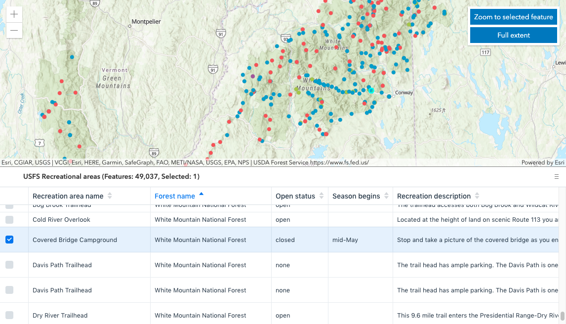
Win friends and influence stakeholders with the new FeatureTable (beta) widget. When working with a large dataset, the table loads additional features as the user scrolls. Users can select rows (features) within the table. Works well with or without a map.
Attachment issues?
Don’t worry, this is all work related. The Editor widget was updated to support attachment editing. We also introduced a new Attachments widget which allows users to view attachments associated with a feature (pop-ups now use this widget under the hood to display attachments).
That’s so Metal
The MeshMaterialMetallicRoughness (based on MeshMaterial) uses the metallic/roughness lighting model to enable physically based lighting. The metallic and roughness properties can be used to model various realistic materials including metals and plastics.
Wait, there’s more!
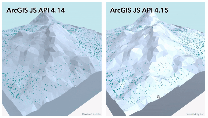
Act now to receive even more updates at no additional cost. Tools to better explore BuildingSceneLayer. Display features on top of IntegratedMeshLayer. Helpful updates to Clustering, MapImageLayer, and a variety of widgets. And there’s even more than that. Check out the links below to discover everything that’s new and exciting at 4.15 and 3.32.
Release Blog
4.15 Release Notes
https://developers.arcgis.com/javascript/latest/guide/release-notes/index.html
4.15 Samples
https://developers.arcgis.com/javascript/latest/sample-code/?search=4.15
3.32 What’s New
https://developers.arcgis.com/javascript/3/jshelp/whats_new.html
You must be a registered user to add a comment. If you've already registered, sign in. Otherwise, register and sign in.


