- Home
- :
- All Communities
- :
- Developers
- :
- JavaScript Maps SDK
- :
- JavaScript Maps SDK Blog
- :
- ArcGIS API for JavaScript 4.13 and 3.30
ArcGIS API for JavaScript 4.13 and 3.30
- Subscribe to RSS Feed
- Mark as New
- Mark as Read
- Bookmark
- Subscribe
- Printer Friendly Page
- Report Inappropriate Content
Today, we are pleased to release versions 4.13 and 3.30 of the ArcGIS API for JavaScript. Here are some of the 4.13 highlights (please refer to the 3.30 link at the end for 3.x updates).
The Stats
We added 18 new classes, 4 new widgets, and fixed 33 bugs. Also, 96% of the codebase is now written in TypeScript.

Attribute driven composite symbols
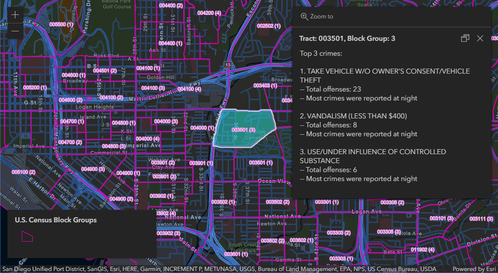
Wouldn’t it be sweet to symbolize features using a dictionary of symbols configured with multiple attributes? Well, now you can. With the new Dictionary Renderer, we offer a data-driven approach for symbolizing features when there are so many permutations that a UniqueValueRenderer would be inappropriate.
Performance
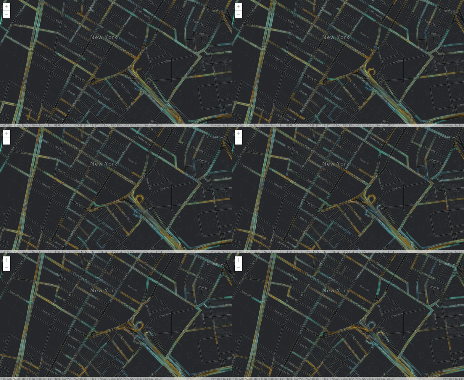
VectorTileLayers? They now draw faster and smoother with fewer network requests.
SceneLayers? Now twice as fast with half the calories.
FeatureLayers? More stable z-ordering and faster rendering of large polyline and polygon features.
https://developers.arcgis.com/javascript/latest/guide/release-notes/#performance-improvements
Modernization
We are planning to make the API return native Promises by default at 4.14, then completely remove Dojo promise at 4.15. We are also planning to remove the dependency on Dojo's `declare` module. These are significant changes that will both strengthen the API and make it play nicer with other frameworks. This release took a large step forward laying the foundation for these changes.
https://developers.arcgis.com/javascript/latest/guide/release-notes/#api-modernization
ImageryLayer
First, we reduced the number of files requested from CDN. But we didn’t stop there. You can now display images in ImageryLayer in their original coordinate system. And if the format is set to `lerc`, we now offer a client-side renderer.
https:// developers.arcgis.com/javascript/latest/guide/release-notes/#imagerylayer-updates

And more...
There’s so much more to cover. Add, edit, delete, and reorder bookmarks with the Bookmark widget. PointCloudLayer now supports popups. One measurement widget to rule them all. Even better smarter mapping!
It’s been a fantastic release, and we are excited to share it with you. Please feel free to let us know how we’re doing via email/Slack/GeoNet/Twitter.
https://developers.arcgis.com/javascript/support/index.html
Couple more links to share:
Release Blog
Measurement Widget Blog
Measure Once with the new Measurement Widget
4.13 Release Notes
https://developers.arcgis.com/javascript/latest/guide/release-notes/index.html
4.13 Samples
https://developers.arcgis.com/javascript/latest/sample-code/?search=4.13
3.30 What’s New
https://developers.arcgis.com/javascript/3/jshelp/whats_new.html
You must be a registered user to add a comment. If you've already registered, sign in. Otherwise, register and sign in.