Turn on suggestions
Auto-suggest helps you quickly narrow down your search results by suggesting possible matches as you type.
Cancel
- Home
- :
- All Communities
- :
- Products
- :
- Mapping and Charting Solutions
- :
- Mapping and Charting Questions
- :
- Custom Inset Data Frame Shapes
Options
- Subscribe to RSS Feed
- Mark Topic as New
- Mark Topic as Read
- Float this Topic for Current User
- Bookmark
- Subscribe
- Mute
- Printer Friendly Page
Custom Inset Data Frame Shapes
Subscribe
3294
1
03-18-2015 07:53 AM
03-18-2015
07:53 AM
- Mark as New
- Bookmark
- Subscribe
- Mute
- Subscribe to RSS Feed
- Permalink
I've seen some maps that have uniquely-shaped inset maps. How can I do this in ArcMap?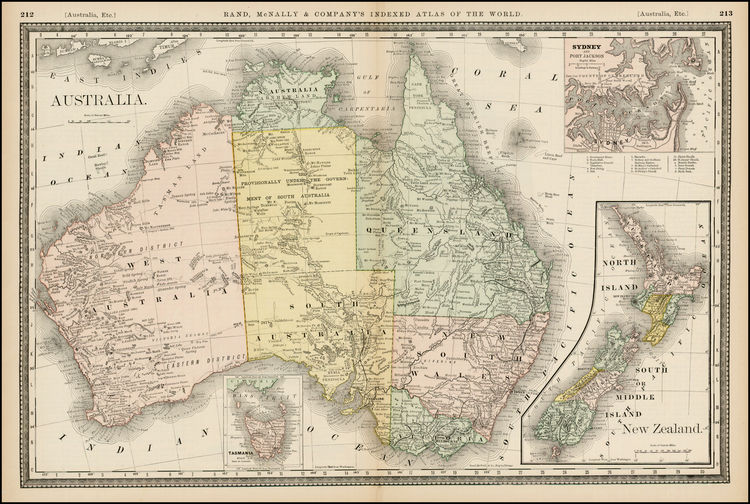
1 Reply
03-18-2015
07:59 AM
- Mark as New
- Bookmark
- Subscribe
- Mute
- Subscribe to RSS Feed
- Permalink
In Data Frame options, there is an option to clip a data frame to a features extent.
Check this old thread about some limitations of this(like no raster data in non-rectangular data frames)