Turn on suggestions
Auto-suggest helps you quickly narrow down your search results by suggesting possible matches as you type.
Cancel
- Home
- :
- All Communities
- :
- Industries
- :
- Transportation
- :
- Roads and Highways
- :
- Roads and Highways Questions
- :
- 3D Analyst isn't working
Options
- Subscribe to RSS Feed
- Mark Topic as New
- Mark Topic as Read
- Float this Topic for Current User
- Bookmark
- Subscribe
- Mute
- Printer Friendly Page
3D Analyst isn't working
Subscribe
2332
3
07-27-2017 12:03 PM
07-27-2017
12:03 PM
- Mark as New
- Bookmark
- Subscribe
- Mute
- Subscribe to RSS Feed
- Permalink
Good evening,
I have a problem with the 3D Analyst. I would like to use this to create a profile diagram to show the differences in altitude of the river.
However, the tool is grayed out and no action possible.
Can someone help me?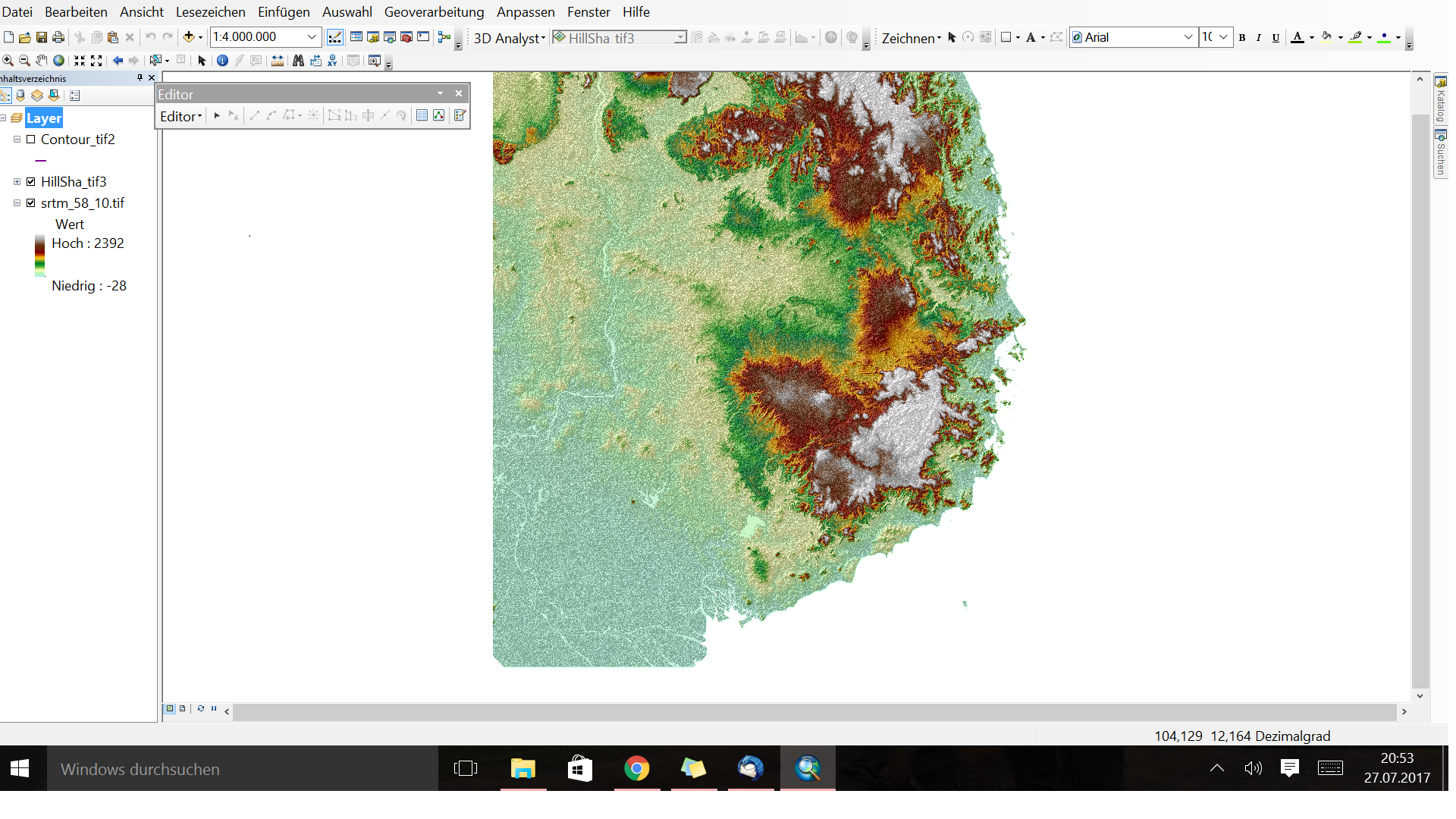
3 Replies
07-27-2017
12:47 PM
- Mark as New
- Bookmark
- Subscribe
- Mute
- Subscribe to RSS Feed
- Permalink
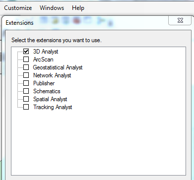
Have you enabled the 3D Analyst from (Customize > Extensions) in ArcMap
Think Location
07-27-2017
12:58 PM
- Mark as New
- Bookmark
- Subscribe
- Mute
- Subscribe to RSS Feed
- Permalink
Yes I have, This is unfortunately not the problem.
07-27-2017
01:19 PM
- Mark as New
- Bookmark
- Subscribe
- Mute
- Subscribe to RSS Feed
- Permalink
Could you close ArcMap and open ArcCatalog (standalone), and enable the extension there also (Customize > Extensions). Close ArcCatalog, and open ArcMap once again. Add the DEM Raster. Does it work?
It sounds silly, but sometimes it works.
Think Location