- Home
- :
- All Communities
- :
- Industries
- :
- Public Safety
- :
- Public Safety Questions
- :
- Kaikoura Earthquake Shakemap Available
- Subscribe to RSS Feed
- Mark Topic as New
- Mark Topic as Read
- Float this Topic for Current User
- Bookmark
- Subscribe
- Mute
- Printer Friendly Page
Kaikoura Earthquake Shakemap Available
- Mark as New
- Bookmark
- Subscribe
- Mute
- Subscribe to RSS Feed
- Permalink
What is a ShakeMap? ShakeMap is a product of the U.S. Geological Survey Earthquake Hazards Program in conjunction with regional seismic network operators.
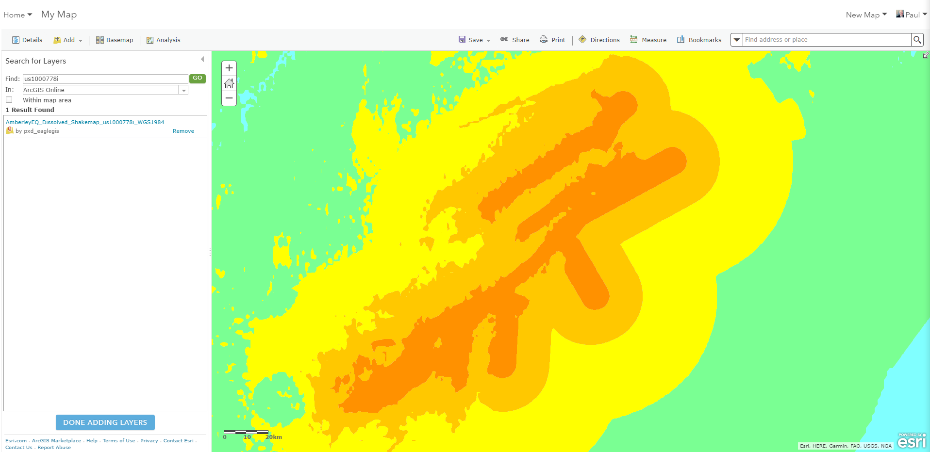
I have just updated our archived shakemap for the 2016 Kaikoura Earthquake and it is available as a polygon feature layer (dissolved by MMI Grid Code) for you to use for your web maps, apps, and spatial analysis.
To add it to your web map, just search in ArcGIS Online for tag 'KaikouraEQ' or '1000778i'.
Kaikoura Earthquake Feature Layer hosted by Eagle Technology Group: http://www.arcgis.com/home/item.html?id=52077373b3ac40aead3cf992247302e4
You can also download the original data from USGS: Shakemap us1000778i
Don't forget that you can add live updates from the USGS in your web maps from the Living Atlas of the World | ArcGIS.
- On the ribbon, click the Add button and choose Browse Living Atlas Layers.
- Search for 'Earthquake'.
- Find Recent Earthquakes and Add layer to the map. This service presents recent earthquake information from the USGS Prompt Assessment of Global Earthquakes for Response (PAGER) program.
- Click CLOSE.
