Hi,
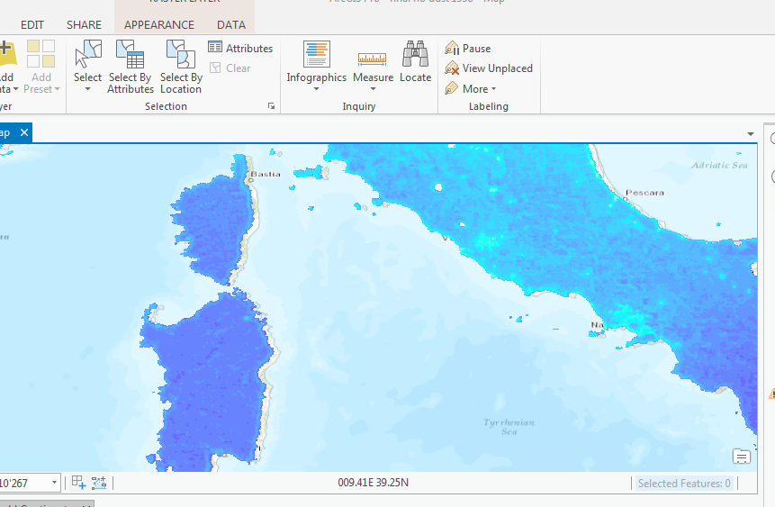
I have a problem concerning a raster dataset about ground-level particulate matter (see here: http://fizz.phys.dal.ca/~atmos/martin/?page_id=140). When I download the .nc file (NetCDF) I am able to import it with the „Make NetCDF Raster Layer“ toolbox command. But the data displays too much (several kilometers) on the left (see picture). Both layers (data layer and the map) use the WGS1984 coordinate system. What could be the problem or how is it possible to fix it?
Thank you for your help.
Best regards!