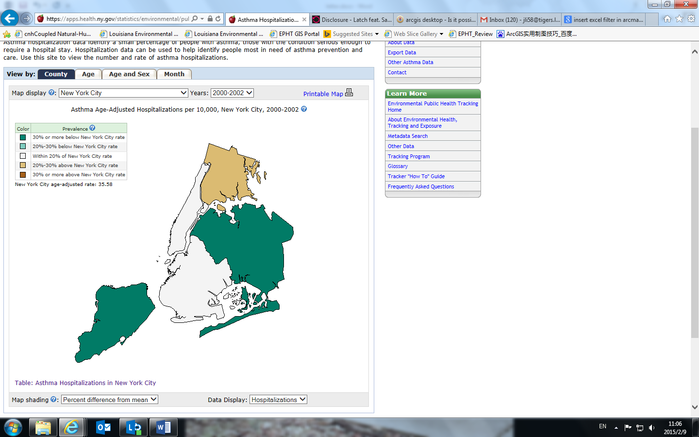
Please see the image (https://apps.health.ny.gov/statistics/environmental/public_health_tracking/tracker/mapaction.map?act...). There are "Map display" and "Years", so you can choose the information you are interested. Is it possible to use Esri Maps for Offices to insert such data filters? I am using ArcGIS 10.2.2 (ArcView).
Thanks very much:)