The Equal Earth, an equal-area projection, and the Peirce quincuncial, a conformal projection, are now available in ArcGIS 10.7 and ArcGIS Pro 2.3.
The Equal Earth is an equal-area pseudocylindrical projection for world maps. It shows a pleasant appearance of the land features and its shape is similar to the well-known Robinson projection. The projection is appropriate for mapping global phenomena or for any other thematic world map that requires areas at their true relative sizes. It was jointly developed by Tom Patterson (US National Park Service, ret.), Bernhard Jenny (Monash University) and Bojan Šavrič (Esri) in 2018. It was published in IJGIS. Some behind-the-scenes look at how (and why!) it was created can also be found in ArcUser article.
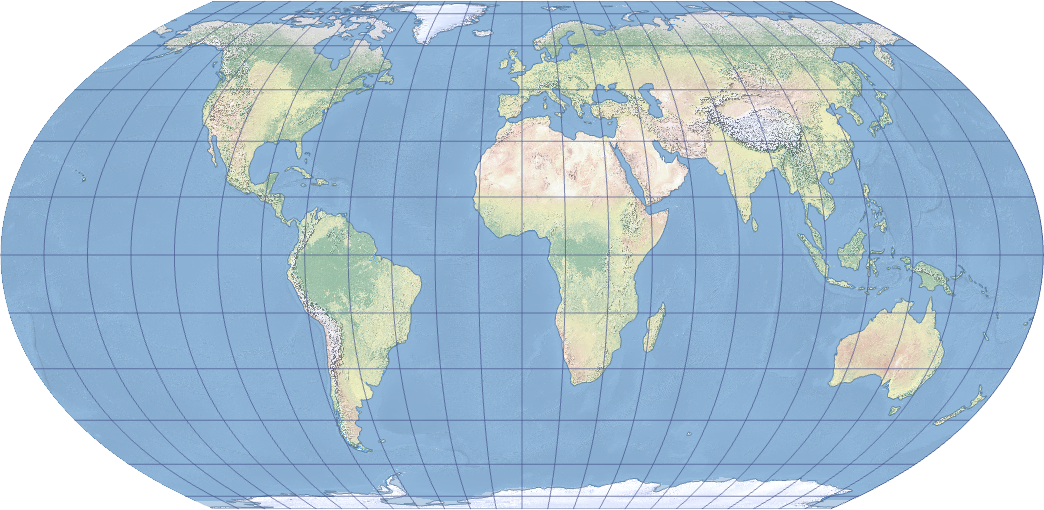
The Equal Earth map projection
Equal Earth in use:
Political and physical wall maps by Tom Patterson
The Living Land by Esri Story Maps team
40 Years of Nautical Piracy by John Nelson
The Peirce quincuncial map projection shows the world in a square. The projection is conformal except in the middle of the four sides of the square. It was developed by Charles S. Peirce in 1879. In his original design, the projection is centered at the North Pole, which displays the equator as a square rotated relative to the projection edge. The original implementation was on a sphere. Esri's implementation of this projection maintains its conformal properties on ellipsoids also such as WGS 1984. The projection can be tessellated or mosaicked.
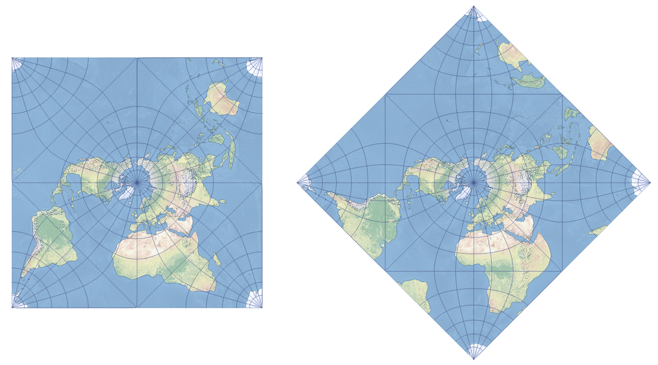
The Peirce quincuncial projection shown in square and diamond orientations.
Happy projecting! 
Cover photo by John Nelson