- Home
- :
- All Communities
- :
- Products
- :
- Data Management
- :
- Data Management Questions
- :
- CSV. file (harvest data) not displayed properly in...
- Subscribe to RSS Feed
- Mark Topic as New
- Mark Topic as Read
- Float this Topic for Current User
- Bookmark
- Subscribe
- Mute
- Printer Friendly Page
CSV. file (harvest data) not displayed properly in ArcGIS
- Mark as New
- Bookmark
- Subscribe
- Mute
- Subscribe to RSS Feed
- Permalink
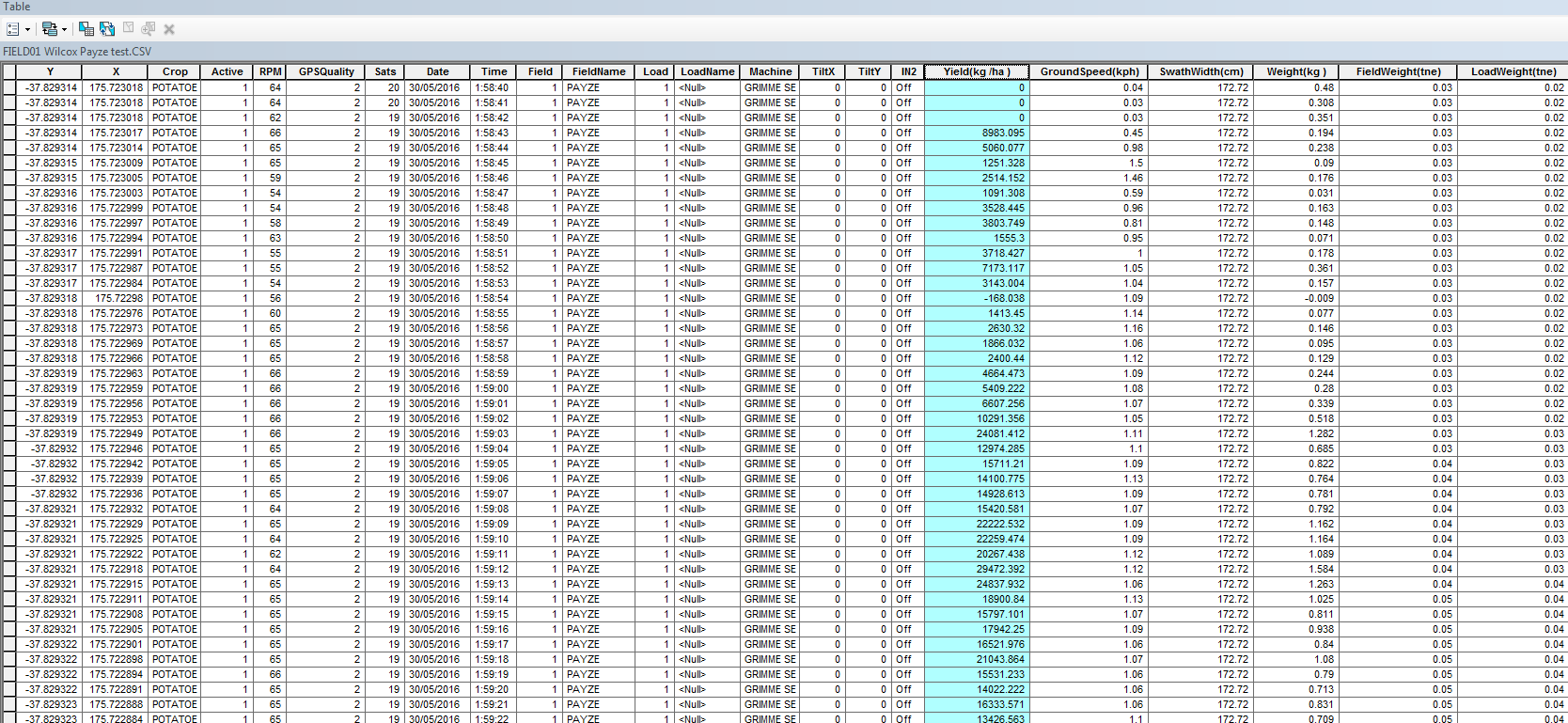
I have a harvest data csv. file to be imported into ArcGIS.
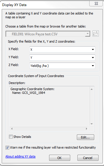
Then I use "Display XY Data".
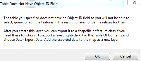
It only shows me two points.
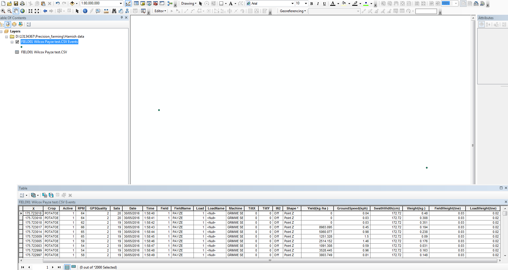
Please let me know how I can solve this problem.
Solved! Go to Solution.
Accepted Solutions
- Mark as New
- Bookmark
- Subscribe
- Mute
- Subscribe to RSS Feed
- Permalink
check your coordinates field
what is the min and max of the X, and Y (or long and lat) fields.
Is suspect that you have zeros, or worse, blank entries
dump any rows that don't have coordinates within the range of values you expect
- Mark as New
- Bookmark
- Subscribe
- Mute
- Subscribe to RSS Feed
- Permalink
Great thanks Dan!
- Mark as New
- Bookmark
- Subscribe
- Mute
- Subscribe to RSS Feed
- Permalink
Hi Dan, just one more question, what's the best thing to do if I want "Statistics" works properly?
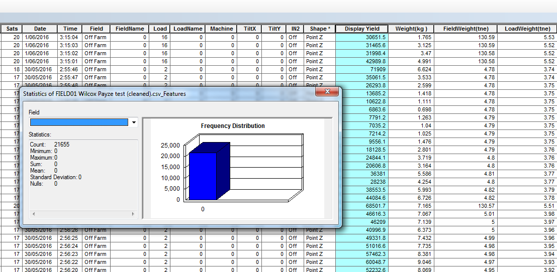
Thanks!
- Mark as New
- Bookmark
- Subscribe
- Mute
- Subscribe to RSS Feed
- Permalink
well I don't see a field name selected in the dialog... apparently some FIELD01 is selected. Also, convert your csv file as a table if you are working in a geodatabase, csv is fine for importing, but you want to save it as a table
- Mark as New
- Bookmark
- Subscribe
- Mute
- Subscribe to RSS Feed
- Permalink
Hi Dan, do you mean that I should create a file geodatabase and use "table to geodatabase" to save it?
Once I've done that, "Statistics" is working fine now thanks.
But one problem I also encounter is that the layer cannot be edited.
Is there a way to convert it into a shapefile or other editable format so that it can be edited?

- Mark as New
- Bookmark
- Subscribe
- Mute
- Subscribe to RSS Feed
- Permalink
you can't edit an event layer, you have to convert it to a shapefile or a featureclass in a geodatabase
Also, you should post your questions separately, the thread now contains unrelated content to the original one.
- Mark as New
- Bookmark
- Subscribe
- Mute
- Subscribe to RSS Feed
- Permalink
Great thanks 🙂