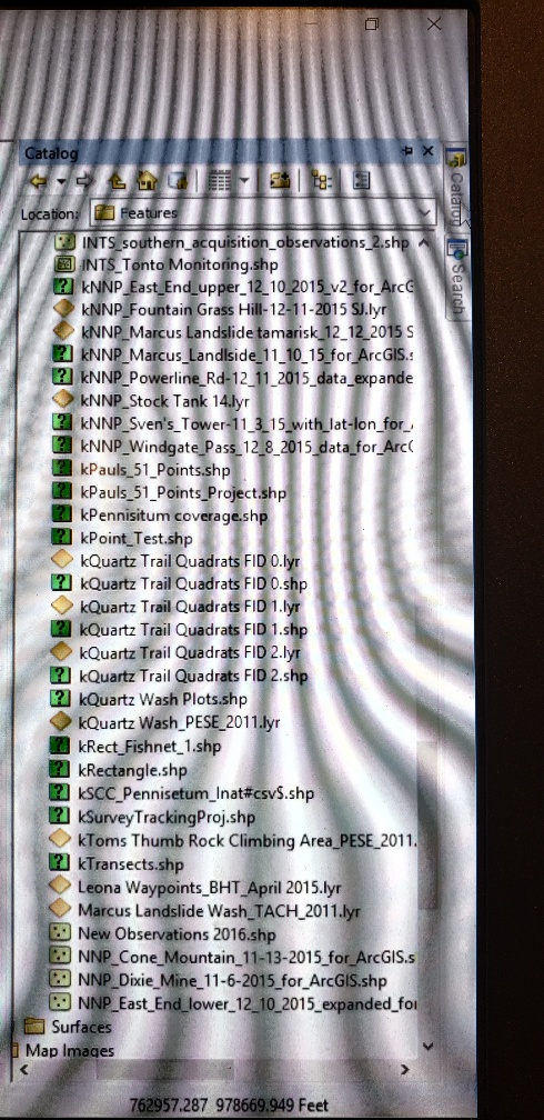
I added a table from an Excel spreadsheet, exported it as a shapefile, and wanted to change the coordinate system from WGS84 to NAD83. I ran the Project tool and it successfully executed. The output file has a "k" prefix, a "?" file type, and can't be opened. I don't understand the problem or how to fix it.
BTW, a bunch of previously created and usable shapefiles also suddenly acquired the k prefix and unknown file type.
Thanks,
Dan